~ submitted by Phil Dol
November 10th, 2019
The six of us started at the Cathedral Grove parking lot. We followed the cabin road to the start of the trail, from there it is a steep hike up to the deteriorating railroad tracks. After a short wander along the tracks it was time for more uphill hiking until we reached the logging road followed by the last uphill section to the summit for lunch.
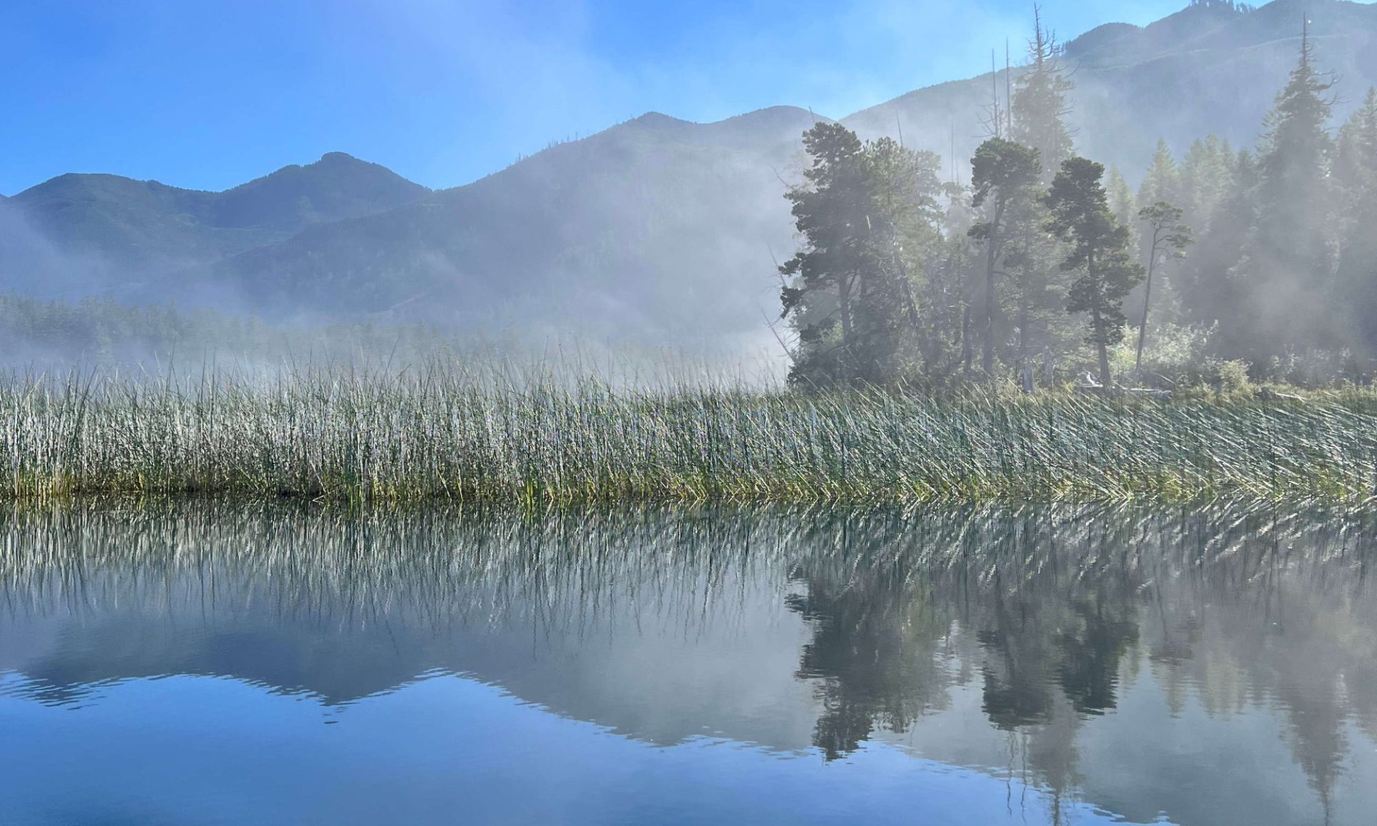
Even though all the weather forecasts predicted clearing around mid-day, it wasn’t until we were back at Cameron Lake that the sun broke through.
When we returned to our vehicles, what had been an empty parking lot was now full of noisy vehicles and people, a stark contrast to the peaceful hike we had just completed.


