— submitted by Matthew Lettington Read it on his blog
A burning question on everyone’s mind is sure to be, “When is the best time for my child to visit a lighthouse?” It’s a trick question: take them as often as you can! Kim and I have taken Hemingway on numerous backpacking and camping trips, but it recently dawned on me that he had yet to see a lighthouse, so we planned a weekend getaway with the Ramblers to visit Tapaltos Bay and Cape Beale.
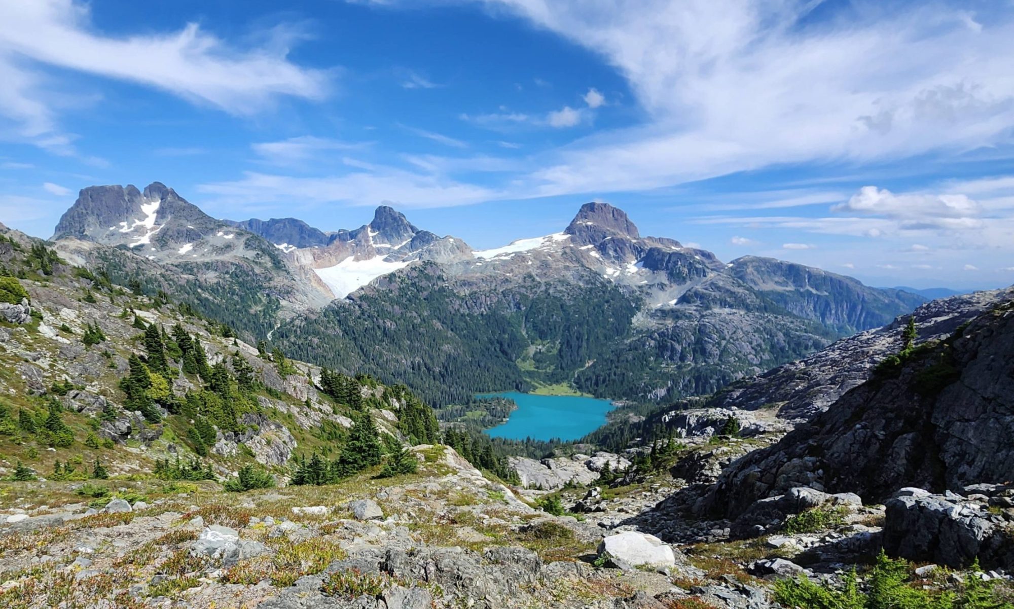
The cape and bay are both located in the Pacific Rim National Park Reserve, the same park that hosts Long Beach, West Coast Trail, and Broken Group Islands. It is also home to Keeha Bay, which Hemingway visited last year. I’ve written before about the state of this trail: for years, it’s been in a sorry state of repair. It’s relatively flat and lies between a bog and a lake, which accounts for the copious amount of mud usually on the trail. The Tapaltos Trail, an offshoot of the Keeha Bay Trail, is well-marked and nearly impossible to get lost on. It’s very well routed, but unfortunately it’s in a similar muddy state. I was to carry Hemingway and the heavy gear, and Kim would carry the lighter, bulkier gear – thankfully, it’s a short trail!
Horoizontal Distance: 17.5 km Elevation Gain: 523 m Time: multi day
Ultimately 11 people would arrive at the beach, but our group started smaller. Rick M travelled with my family in our Subaru, and we met up with Rick K in Bamfield. That’s right, a two-Rick affair! We planned to arrive at our destination early enough to set up camp and enjoy the evening on the beach, and we timed it right. After meeting Rick K at The Market, we hit the trail. I was concerned about Kim, so to make things easier for her we cheated; we drove down the logging road which bisects the Keeha Bay Trail, and used this as our starting location. It was the right decision. We managed to keep her pack under 25 pounds, but her growing belly prevented her from using the backpack belt to good purpose. As she is now four months pregnant, the extra weight of the pack took its toll on her.
 |
| Minor water crossing |
As we walked the Keeha Trail, I was surprised at the significant maintenance. Someone, possibly a group, has been using fallen trees to cut better-than-rudimentary boardwalk. It’s great! Many of the muddy sections have split log planks crossing them, which made for quick travel. Also, keeping out of the mud will allow water to drain, and gives the region the possibility to recover. Our hike in wasn’t all peaches and cream, however; the trail from the Keeha Trail to Tapaltos has seen no rehabilitation.
The route travels over, under, through, around, beside, and over (wait… I think I said that) various features. Hiking this with Hemingway in the backpack was tough, as he isn’t exactly a stable load. He leans left and right, shifts up and down, tries to squirm out of the pack, and sometimes grabs onto branches. To top it all off, my pack was tipping near 60 pounds.
 |
| she didn’t even use the rope |
For all my complaining, though, I had it easy compared to Kim. Even with her light pack, the twisting, turning, crawling on hands and knees, and occasional jump over mud pit from root to root, was a lot. She is no stranger to backpacking but with work, Hemingway, and her body changing, she struggled. Thank goodness the trail is short – but darned if it isn’t deceiving! At one point, I examined my GPS and discovered we were only 500 metres from the ocean. “Well, that’s going to be quick,” I thought to myself. Nope. The trail took a right-hand turn, and for quite some time we travelled parallel to the shore, and then away from it, before finally turning back. What I expected to take 15 minutes took around 45!
 |
| Taken on an earlier trip |
The final approach to the beach is spectacular. The route is flat, except for a tall berm right before the beach. As you climb up and over the crest of the hill, you can hear the sounds of the surf crashing against the soft sand, a breeze cools your skin, and the distinct smell of the ocean fills the air. And the view! On a sunny day, the near-turquoise water and light sand glow between the silhouetted trees. It’s a stark contrast from the mud and dense mature forest of the walk. We were all happy to get to the beach with a good amount of light left in the day; the trip had taken just under two hours.
 |
| photo by Lisa Hanlon |
As we set up camp and collected beach-wood for a small fire, Hemingway played in the sand and explored the multiple fishing buoys strewn about the beach. Before long, we were set up for the weekend, sitting by the fire, and enjoying an evening drink. As evening bloomed into night, the remainder of the troupe trickled in: Michael arrived with two Ramblers’ guests, and Bil, Gord, and Jacob arrived when dark was well upon us.
 |
| chill time at the fire |
 |
| So many tents, lets organize in the futre! |
We gathered around the small fire, chatting and building expectations for the next day, and hatched plans for future adventures. It was late into the night – at least by camping standards – when at last we doused the fire and hit the hay.
Day two was relaxed: there was no rush to get anywhere fast. The weather even complied, with the threatening rain presenting only as simple showers. The moist environment and dark sky created an intense saturation of colours as we walked through the forest. I enjoyed the simpler trail: though still very wet and muddy, it lacks the complicated obstacles of the first day. We left Tapaltos around 11:30 am and made it to the mudflats just in time for the tide to allow us passage. The mudflats flood when the tides exceeds 1.8 metres, but as we arrived, the water was just passing the steep boat ramp which opens the way to the winding concrete path up to the lighthouse. Rather than taking the direct approach, Michael led us to the well-used trail to the south, which approaches through the old trees and past many of the promontory’s best features.
 |
| and then there is a section of lovely boardwalk |
 |
| the mudflats, water gone! |
We stopped for pictures and explorations of the terrain. Four adventure-seekers travelled down and through the island cavern, until they reached the ocean on the opposite side, clambering over slippery rocks with the roof of the rocky promontory overhead. Our next stops were at the various lookouts, where we took turns posing on the land bridge, enjoying the views, and taking photographs for each other. Lastly, we continued onto the rock and were greeted by the friendly keeper.
 |
| Beth rocking the land bridge! |
 |
| photo by Michael Paskevicius |
The lighthouse is high above the water looking north, overlooking the Broken Group Islands. After a good long visit, we said our farewells; many of the Ramblers took the chance for one last look out before heading back to camp. Even with the relaxed visit and time spent gazing, we were back at camp just in time for dinner. Hemingway was ravenous!
As I prepared our meals, Michael and Lisa kindly played with Hemingway at the rocks, exploring the tide pools and other natural features. Hemingway must have fallen in love with the snails, because I caught him with a collection in his hands, about to be put into his pocket (truth be told, he did manage to sneak one in – I found it in the dryer after doing laundry. EEEP!).
 |
| Michael and Hemingway exploring |
 |
| counting his booty! |
Day three was lovely, with the sun shining as we packed. Many of us didn’t want to leave, and we stood on the beach talking for a long time, with our bags packed and waiting for us. The slog back to the car was humid, and by the time we arrived I was dying to strip out of my hiking gear and into clean clothes.
Reluctant to depart from each other’s company, we set a rendezvous in Port Alberni: fish and chips at Bare Bones. Hemingway was happy to eat real food, the kind that doesn’t come in a foil Ziploc bag!
Unfortunately, this story has a sad ending. I have to report a death in the family: my Subaru Outback. She was a fine car. I bought her used, and loved her for three good years, though I can’t say that I always treated her the best: I’ve had her in places that no Outback should ever be. But she always came through, even if it was with a few knocks and scrapes. Unfortunately, the Bamfield Road will be her last logging road. A failing transmission, worn brakes, and aging shocks/struts have let the air out of this old car’s tires. I’m letting her go with only 295,000 km on it. You shall be missed, and I will think of you often. Here is a photo of our first day together.
 |
| Day One |
 |
| farewell |
I just realized there is a problem with this post. We didn’t take a photo with the lighthouse. Balls! I’ll have to remember to do that next time.
 |
| along for the ride |
See dozens of more images ….