Alberni Inlet Stage I

–trip report submitted by Ken Warren
–Photos submitted by Kerry Hart

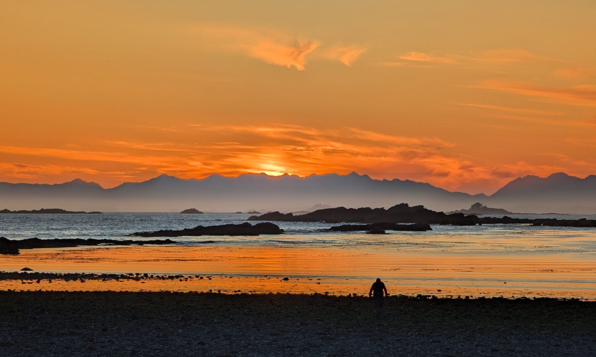
Although the weather forecast was not encouraging, we had a dry day on the Alberni Inlet Trail.  Our start time was delayed by bridge inspections on the China Creek Road, but we set out from Ship Creek around 11 o’clock.  The first stretch is impressive old growth fir and cedar opening up into views of the valley with Arrowsmith Massif obscured by clouds. Frogs to the left and right cheered us along the trail.

Continue reading “Alberni Inlet Stage I”

Katzenjammer Light

–submitted by Ken Warren

New Years morning was cold, breezy and clearing when four Ramblers set out in the snow from Witchcraft Lake to Mt Benson. There was one truck in the parking lot before us and a single hiker ahead of us.  Trail conditions were fair with around 6cm of fresh snow softening up the ice slick of the well used track. We made good time to the halfway point with a short off trail ramble to mix things up.

Continue reading “Katzenjammer Light”

Maple Mountain Loop

–submitted by Ken Warren

Eight of us set out on a Maple Mountain loop from Chilco Road on Saturday. Maple Mountain is the best marked and mapped trail system I’ve found on the Island, in that trail marking is frequently updated and the actual trails correspond exactly with the mapped trails. We set out along the blue trail and switched to the yellow, walking parallel to the water to our first break at Grave Point and the opening of Sansum narrows.

Continue reading “Maple Mountain Loop”

Maple Mountain and Samsun Narrows

— Submitted by Ken Warren
Four Island Mountain Ramblers started our Maple Mountain hike on May 9th from Chilco Road in Crofton.  We were the only vehicles parked on the street and the weather was clear and warm.  The trail starts gently and gradually gets steeper, although it never gets very steep or particularly difficult.   Weaving among the fir and cedars of the Blue Trail we emerged onto bluffs several times to northward views of Georgia Strait and the Coast Mountains  with the ferry plying its way from Vesuvius to Crofton.  Turning south on an unmapped but flagged extension of the Pink Trail we made our way up to the summit and had a well-deserved snack among the arbutus and oak with views of Maple Bay, Tzouhalem, and the southern part of Saltspring.
Lunchtime
 

We descended heading west on the Pink Trail with some great views of Sansum Narrows and down through some  large old-growth fir and red cedar.  As we got closer to the water Garry oak and arbutus took over and the blue camas and death camas , with sea blush and spring gold became more common.  Along the Blue and Yellow Trails we were always in sight of the narrows and marine traffic.  I looked for cactus, which I have seen before, with no luck.  We took a break at Grave Point watching  a seal watching us and enjoyed the marine action.  It’s a busy spot.
 
We completed our last leg in the sun on a quiet trail.  Although it is one of the most accessible mountain and marine trails on Vancouver Island we only saw four people all day.

Benson from the South-East

-Submitted by Ken Warren
-Photographs submitted by Deb Adams & Bil Derby


On Saturday March 14th eight of us set out from Morrell Sanctuary to tackle Benson from the south-east ridge. The forecast was for rain easing to showers with a probability of wind and a possibility of sun. It did rain, but it slowed as the morning went by. At Roberts Roost the views were starting to show, although it still looked socked in over in Whymper’s direction where the other club hike was happening. [As it turns out, the Whymper trip was cancelled do to a really terrible weather forecast]

The day continued to improve to the soundtrack of the rising wind as we worked our way upward along the rocky ridges and old growth with occasional views to the north and south. We did take an unintended side trip adding 35 minutes to our ascent, but I’ll mark that up to exploration. At the four hour mark approaching the summit we wondered what was making such incredible noise. With the communications towers in sight we realized it was the wind screaming through the masts and the guy wires. We tarried at the summit only long enough to claim completion before backtracking to the road and having lunch and enjoying the views in the sheltered area below the flag.

Taking the Te’tuxtw’tun trail down and onto the roads, we passed the Cougar Bluff Loop and descended the old trails through the switchbacks, arriving at the base of the Westwood Ridges trails. We headed right towards Morrell completing the hike there in 7 ¼ hours.

See Full Album ……

Mt Benson — Winter Hike?

–Submitted by Ken Warren
On Saturday, February 21, eight of us tackled Mt. Benson by the front route.  At 8:30 AM the Witchcraft Lake parking area had more cars than I usually see at that time.  The weather was promising with clear skies, although the wind was chill and strengthening.  The temperature rose as soon as we got into the timber and Witchcraft Lake’s low water was unfrozen.

Our trip up was uneventful.  We met a couple who had ascended in the dark to catch the sunrise.  The sight of the sun climbing up over the silhouette of Mt Baker was fresh in their minds.  We stopped at all the viewpoints, checking out Nanaimo landmarks,  freighters moored behind Newcastle and Protection, and some fog over parts of the Strait.

The wind was still blowing when we crossed the road, and I thought the summit might be cold. We took the trail that is now officially called, on the RDN map, The Straight to the Top Trail.  As we settled into a comfortable pace, we renewed previous and made new acquaintances.
   
The sky was clear and the wind died down as we made the summit – it was cool, but not enough to stop us from having a snack.  The views were very good, with some clarity lost to haze.  Moriarty, Arrowsmith, Cokely, Albert Edward, and Jutland had some snow, but not their usual mantles.  The coast mountains were, as always, impressive with their challenging crags and ridges.  Baker was visible, but not particularly clear. 

Descending the Te’tuxw’tun trail we saw no snow hiding among the shady bluffs.  We met more people as we came down, including a small group who had come up Benson’s south-east ridge.  It’s good to see so many people taking advantage of the weather and local hiking opportunities.  We were back in the parking lot before one o’clock.  Good weather, good views, and good company equals a good day.