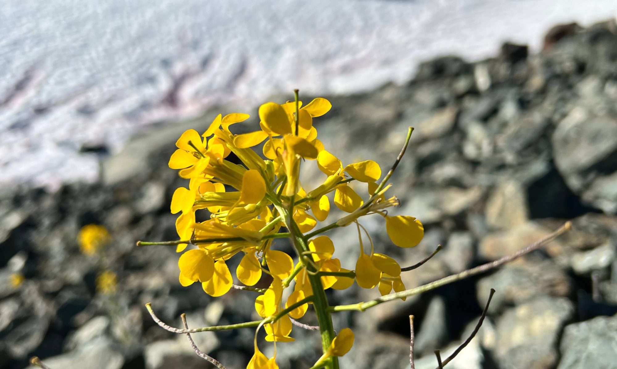


–submitted by Jain Alock-White
Rugged Mountain – a goal of mine to get to this area for many years so I decided to make a trip happen! There were five spots open, for a total group size of six, including me. Even though there were 10 people on the waitlist, we only ended up being a group of four. Everyone else cancelled for one reason or another, and our fifth participant woke up feeling unwell and had to cancel on the day we were scheduled to leave. This is why putting your name on the waitlist is a good idea!

We all met up on Thursday afternoon and left Nanaimo in Rick’s vehicle. We made a pit stop at the Sayward gas station and continued on towards Zeballos. We found two other Ramblers on a personal trip setting up camp at the bottom of the N20 spur, as their vehicle was unable to make it any farther. They reported that the beginning of the spur road was very rough. Rick remembered from a previous trip that the beginning of the road was rough but then eased off, so he started up with confidence. It was, indeed, rough, but we made it past and then into a dense thicket of alders, where the road was barely visible. There was another rough, steep, and loose patch that was tricky to get through, but Rick’s driving expertise got us to 720 metres, where we had to stop due to two recent small landslides on the road.

We set up our tents for the night and enjoyed the sunset. We may not have had the best sleep, as most of us were sliding one way or another due to the not-quite-flat road we were camped on!
We left the vehicle at around 6:30 Friday morning and started up the road before veering off and making our way uphill along the edge of a clearcut and then into a steep forest to gain the ridge. Blueberries and huckleberries were plentiful and delicious.

Once we gained the ridge, the route was relatively straightforward until we broke out of the trees below Nathan Col. We had tracks for a route that went low across the rock slabs, while there were many public tracks taking a higher route. The two other Ramblers caught up to us at this point, moving fast with daypacks, and headed across following the high route. We ended up zigzagging between the high and low routes, which was not the best option! Once across the slabs, we all stopped to fill up our water at a stream of meltwater surrounded by mounds of yellow seep monkeyflower and pink Lewis’ monkeyflower. Then it was a scramble up the scree to gain the col and set up base camp, with the best views on all sides.

The original plan had been to climb Merlon on our first day, the Triplets on the second day, and Rugged on the third day before heading back to the vehicle. However, the forecast was unstable and it seemed rain was imminent, though we couldn’t figure out exactly when. We decided to climb Rugged first and then make decisions as the weather dictated.

With base camp set up, we headed out across the Upper Rugged Glacier towards Rugged’s Walsh-Facer-Hutchinson route. The glacier travel was easy – short and not too steep – and the route offered amazing views, fun scrambling with minimal exposure, and a bug-free summit. We rappelled down three sections on the return, though they could have been downclimbed if necessary. The mountains in this area really have a unique feel – very Lord of the Rings-esque.

We witnessed an amazing sunset and woke up on Saturday to a brilliant sunrise. We left camp at around 6:30 and made our way towards Merlon, hoping that we might still fit in the Triplets. We had read Matthew’s trip report and Steven Song’s trip report and had both sets of tracks, but we still ended up going too high on the glacier initially. We topped out in a notch and figured that maybe we could climb up onto the ridge we were below and connect up with the Merlon summit. After traversing some ledges and straddling the ridge edge, however, we realized our ridge did not connect, so we were forced to retreat.

We continued along the glacier and finally found a tongue of snow that would take us up into the correct notch. It was steep and icy, and getting off the snow over the moat was iffy, so Anne and Rick turned back. Ian and I managed to find a way off the snow and onto the rock and figured the climbing was easy enough and we had a rope if we needed it…until we realized that Anne had the ropes. We determined to carry on with the mantra that we wouldn’t go up what we couldn’t climb down.

We made it up into the notch just below the Merlon summit and had two options – a steep scramble or some heather ledges that appeared to wrap around towards the summit. However, clouds were rolling in, and knowing we didn’t have a rope if we needed it made us decide that we should begin the downclimb before the weather turned.
Indeed, it started raining just as we found a spot to get back onto the snow. It poured enough that water was streaming off the rocks, and just at a critical moment, I pulled my raincoat out of my pack. My glacier glasses came out with my coat and went sliding down the rocks into the moat. Ian figured that they were worth looking for, so after an invigorating session of glacioneering – lying on my stomach, face down, with water streaming, my pole fully extended beyond my arm and my feet and knees available to Ian should he need to pull me out – I retrieved my glasses, in their case, fully intact! We hastened back to camp, where the sun came out, and had another leisurely evening.

On Sunday, we packed up camp and began the descent into a full inversion. Just about halfway down the scree, we entered the clouds and hiked through the beautiful and very wet forest back to the vehicle. It didn’t rain, but we might as well have been swimming, we were so wet. Note: We took the high route across the rock slabs on our return and it was much better than our initial zig-zag route.

We made it back to Nanaimo by 4:30 or so – early by all standards! Even though the thought crossed my mind that we could have made time to climb something else, it would have been a crunch and would have made our return time closer to midnight.


