The Obscure Sadie Peak

— Submitted by Matthew Lettington, read the full report on his blog

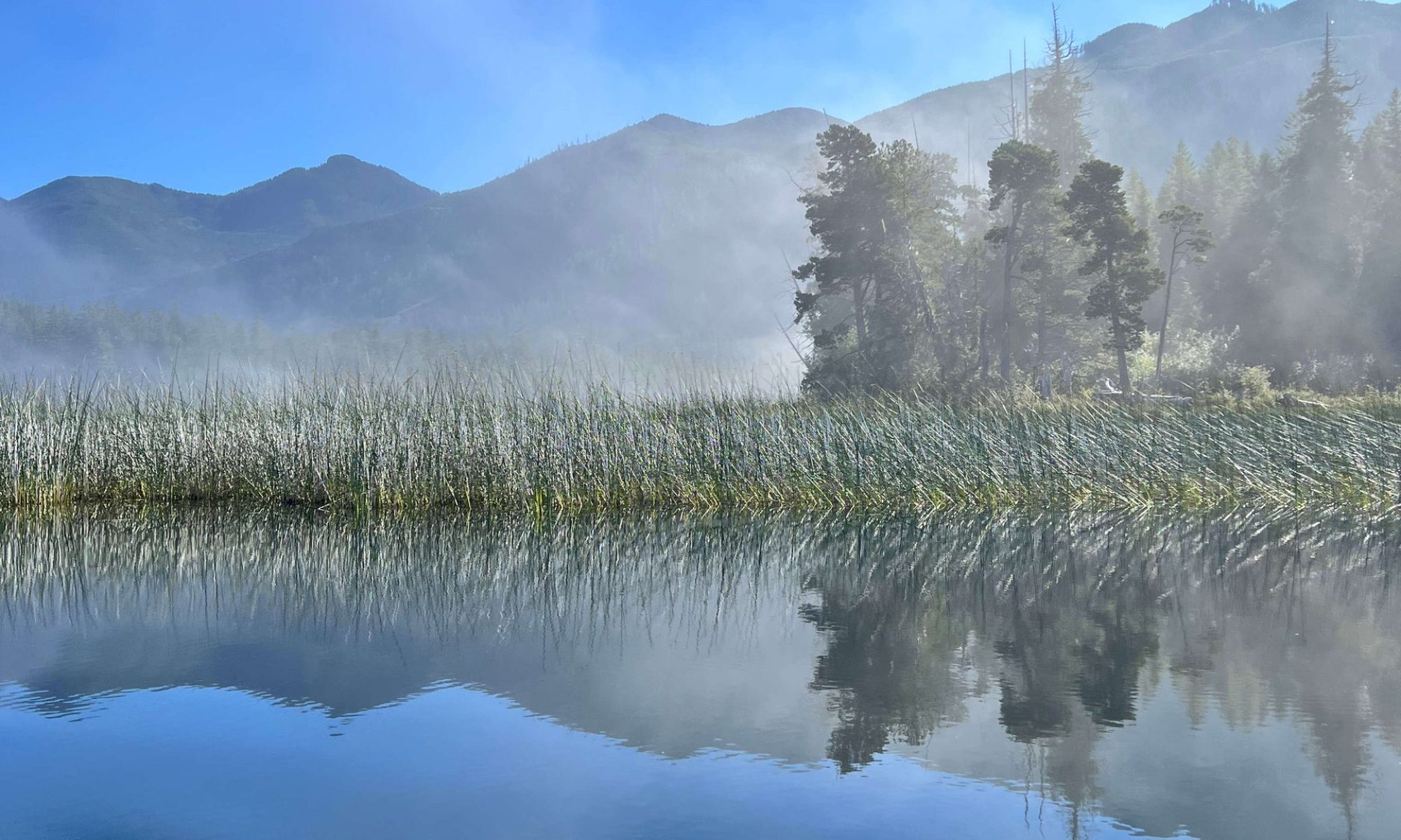
View from the summit of Sadie Peak, looking North

Many of those who read my blog will know that I live in Nanaimo BC and that most of my hiking trips take me to the mid and north island. If you know your geography at all, you will also know that Nanaimo is wedged between the ocean and the mountains, a magical sort of place. However, that place is being held ransom by timber companies. The relationship between hikers and the land-holders is complicated. Though we would love to see the mountain left untouched, the reality is that most of the access to the peaks we want to climb is provided by the roads that are built and maintained by the forestry companies.

View GPS Route with photographs

Total Horizontal Distance: 11.4 km
Time: 8 hours
Starting Elevation; 885 m
Max Elevation: 1460 m
Total Elevation Gain: 1087 m

 In the past I have written of the challenges of getting into the areas around the Nanaimo Lakes Region.  I believe that many folks who live on the Vancouver Island have little concept of how the land owned by Island Timberlands has shaped their concept of where communities are located on the central Island.

Early Fall Ramble to Mt. Moriarty

Looking south from the first Moriarty bump

The summer is petering out, the signs are in the air and hanging off the branches of trees. Everywhere I go, I am reminded that time is marching on and the days of excellent whether, warm air and dry forests are numbered.

We met at the Whisky Creek Co-op on the Alberni Highway (HWY 4) at 8 AM, on Saturday September 27th.  The group of 12 was composed of members from the Alpine Club of Canada  and the Island Mountain Ramblers. We were quick to organize and on the road. We turned off the highway onto the Cameron Mainline, often used to access Mt Arrowsmith, Cokely and other locations beyond.

Add caption

Total Horizontal Distance: 7.4 km
Starting Elevation: 900 m
Maximum Elevation: 1607 m
Total Elevation Gain: 900 m

Read the full report on Matthew’s Blog

Curran-Squarehead-Joan Traverse – August 30, 2014 – by John Young

After making our way up the rough logging road,
the 10 of us started hiking at 9:48, under not bad looking skies. Mt. Joan’s
summit looked to be covered in cloud, but other than that it looked like a good
day. We headed up the Curran trail, which Ken Rodonets has done such a fine job
of maintaining, and by noon we were heading over the Curran-Squarehead col.
The group enjoyed the nice rock on Curran, and
views of Georgia Strait. We omitted the “true” summit of Curran, as
we figured it was going to be a long enough day, and the summit isn’t much
anyway.
The col to Squarehead was a bit bushy in places,
and going up to Squarehead was a bit of a rock scramble that raised the heart
rate of a few people. We finally lunched on Squarehead, about 1:30, and it
started to rain as we headed over to Joan. The rain was brief, though, and at
the Squarehead-Joan col I gave people the option of skipping out the Joan
summit, shortening the trip by an hour total, but the group voted to bag it.
And we were glad we did! Yes, the view was somewhat obscured by cloud, but that
made it even more spectacular, as we could see Port Alberni poking out from
beneath the clouds.
We then began our descent, and it showered some
on the way down, but didn’t really begin raining until we reached the vehicles
just after 6 p.m. Another fine day in the mountains with an enthusiastic bunch.
Especially nice to have 3 guests along and 3 fairly new members.
Participants: Matt Lettington, Dean Williams,
Christine Rivers, John Proc, Fran Proc, Tyler Proc, Mary O’Shea, Mo Goreyan,
Alana Stott, John Young

Lomas Lake

To read his full report check Matthew’s Blog

GPS route with photographs
GPS Route with photographs

Total Distance: 21.9km
Max Elevation: 1189 m
Total Ascent: 1678 m

On Saturday July 5th, six hikers, many members of the Island Mountain Ramblers, rendezvoused in Ladysmith outside Coronation Mall. After fueling up on coffee and meeting with each other we listened to the hiking plan and objectives before  then head toward Youbou. Our first destination was the trailhead located at Cotton Wood Creak East Logging Road.

The day was beautiful, full sun, with only a few white puffy clouds to keep the sun company. The hiking temperature was wonderful, though it was full sun much of the hike was in heavily treed area or in the shadow of the surrounding mountains. Even though the ascent was relatively strenuous the hikers were able to keep their temperatures down.

From John Young — Quadra Island Camp and HIke, June 20th-21

Another wonderful trip on Quadra Island, with four of us this year, Peter and Sherry Durnford, Blake Drummond, and John Young. We caught the 12:30 ferry over, set up camp, lunched, and then headed to

Shellaligan Pass Trail–a lovely 2-hour seaside walk. Saturday, we hiked to Maude Island and back, just under 7 hours return, and we enjoyed a wonderful 1-hour lunch break watching the boats motoring
through Seymour Narrows. Good weather and a wonderful group! (Luckily, though, I was able to borrow a sleeping bag from the Rebecca Spit Campsite managers or I would’ve spent a cold night!)