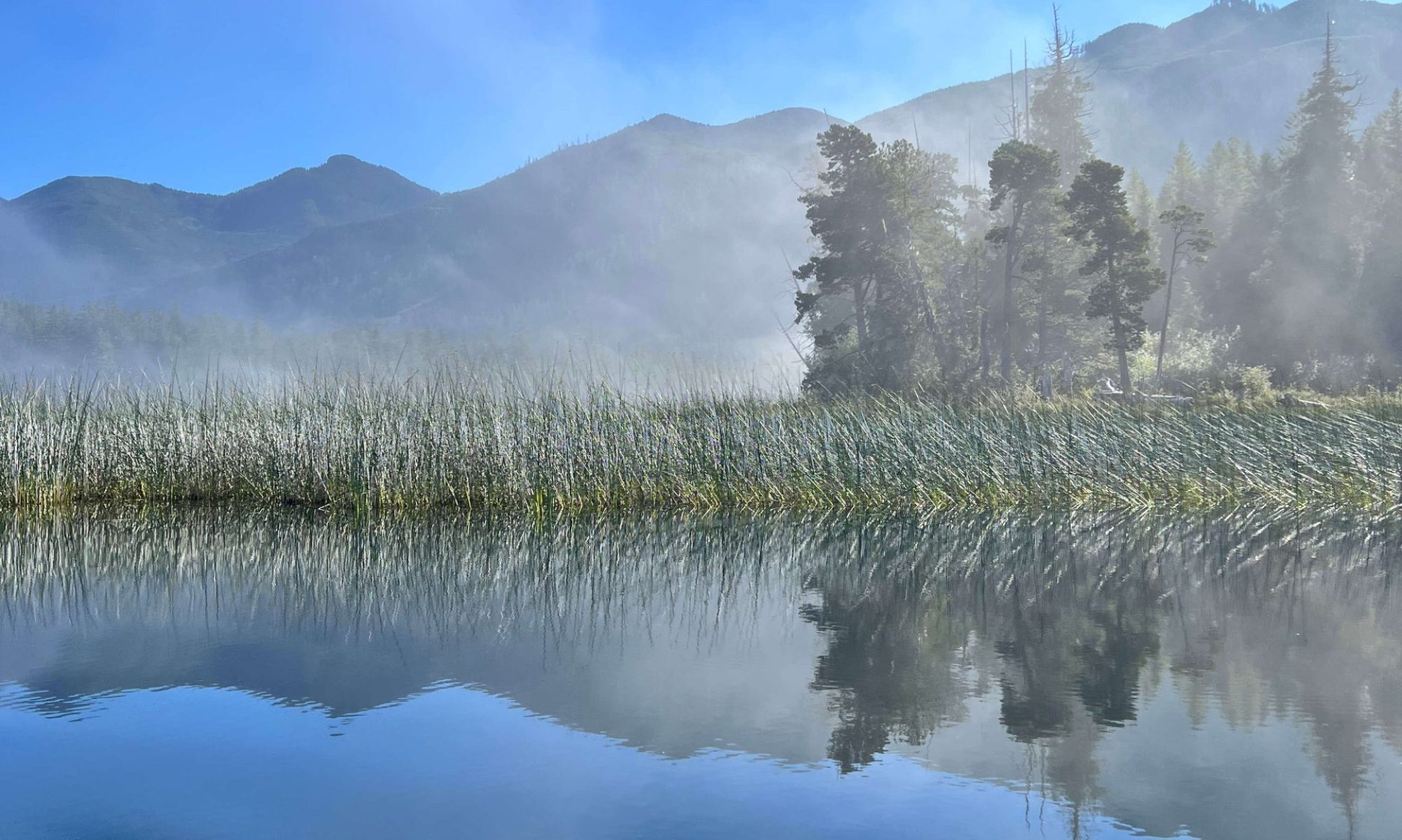
Simple Snowshoe around Lake Helen Mackenzie

–submitted by Matthew Lettington
Read the full report on his blog: Boring Art, Boring Life

Another beautiful day in the low alpine. On Saturday, January 30th, I led a small group of Island Mountain Ramblers, along with a special guest, on a trip through Paradise Meadows to Lake Helen Mackenzie and back. We had fine weather: a little sunshine, some light snow, and a clear view along our route.

Hiking Paradise Meadows in Strathcona Park, Battleship Loop

In late 2015, I built a pulk sled to use on my ski and snowshoe adventures. Its purpose is to carry gear and my little guy, Hemingway. Since building the sled I’ve made a number of modifications, attempting to improve performance. Hemi was in tow today as we made our way from Raven Lodge.

We left shortly after 10:00 am; we were in no hurry for this simple snowshoe to the lake and back. On our way to the lake, we followed the summer route from the lodge. Though the route is commonly traveled, the conditions vary. On this day, the route had icy patches with a few areas sloping off the booted track downhill. Unfortunately, the sled performed poorly in these short sections as I have yet to install stabilizing fins, or a skeg.

Helen Mackenzie – Battleship Lake route Map

Total distance: 8.4 km
Starting Elevation: 1072 m
Maximum Elevation: 1165 m
Total Elevation Gain: 214 m
Total Time: 4 hours

Read the full report on his blog: Boring Art, Boring Life

Winter Ascent of Pinder Peak’s Horn

–Submitted by Matthew Lettington, read the full report on his blog Boring Art, Boring Life

Nothing screams “winter break” more than an overnighter in Vancouver Island’s Alpine. Complete with camping on snow, and a longish logging road approach to the start of the route, this trip will remain in my memory for a long time.

Hiking Mount Pinder, Province Range, Vancouver Island
Rick and Rishi, on the southwest ridge. Photo by Phil Jackson

It is a long-standing Island Mountain Ramblers’ tradition to make the most of New Year’s Day, celebrating with a winter hike up Mt. Arrowsmith’s Judges Route, a semi-annual trip we call Katzenjammer. This year, though, I attended a different trip; Phil Jackson hosted a Ramblers trip to Pinder Peak, a seldom-visited peak in the Province Range. It sees few ascents, let alone winter ascents! Four participants enjoyed cold weather camping and fair snowshoe conditions, attempting this summit.

Mount Pinder Map and GPS Route
Pinder Peak Map and GPS Route with photographs

Total Distance: 15.8 kilometres
Starting Elevation: 357 m
Maximum Elevation: 1531 m
Total Elevation Gain: 1254 m

 Read the full report on his blog Boring Art, Boring Life

Katzenjammer! Mt. Arrowsmith Judge’s Route – New Year’s Day, 2016

Submitted by John Young, Read the full report on his Blog, John Young’s Out There 

We set out for the Mt. Arrowsmith climb, looking forward to the snow-covered slopes and the sunny, warm temperatures that were forecast; however, we were not sure about the road conditions, and soon after turning off the highway we had our answer: the road was icy! We inched along, and even at snail-like speeds I found my truck, 4×4 with snow tires, sliding sideways down the road. We therefore opted to park at the Pass Main Junction, rather than driving up to the usual parking spot for the Judge’s Route, adding about 45 min. of walking to our approach.

The 12 of us set off about 9 a.m., and reached the spur road about 9:45. Last year there was no snow on the spur; not the case this year …..

Read the full report on John’s blog. 

We found winter! It was hiding at Crest Mountain

— Submited by Matthew Lettington. Read the full report on his blog, Boring Art, Boring Life

It’s been two long years but it’s finally here: winter! Last year, I had big aspirations for winter: snowshoeing, skiing, alpine ski touring, and winter mountaineering. Of course, winter never arrived. Like many other Vancouver Islanders, I have photographs taken on the summits of mountains that are bald! I remember a particular hike up 5040, when Phil and I sat on the summit sunning ourselves in shorts and t-shirts – in February. Even Cobalt Lake had only a thin crust of ice on it, and a few crazy girls were swimming in it! Regardless, winter is here now, and we found it in Strathcona Park.

Crest Mountain Trail
Ramblers snaking up the hill

Continuing through my long list of mountaineering ambitions, Crest Mountain was the goal for December 20th. By all accounts, it’s easy and commonly hiked. It features a well-developed and marked route with signs in a few key places, and the trailhead is on the side of the highway. The trail does have a few steep sections before attaining the summit ridge around 1400 metres, and then an ambling ridge walk to the main summit. However, meteorological conditions prevented us from achieving our goal.

Crest Mountain Map GPS Route
Crest Mountain Map

Total Distance: 8.4 km
Starting Elevation: 338 m
Maximum Elevation: 1216 m
Total Elevation Gain: 934 m
Total Time: 6 hours 15 minutes

Read the full report on his blog, Boring Art, Boring Life

Mount Benson, winter rears it’s head

–submitted by Mike Hordelski

We headed up, seven of us, shortly before 9:00, taking Trail #1 and prepared to cross the creek to begin our hike proper. However, not unexpected, the run-off from the rains made the crossing too chancy. Plan B, to double back on the Old Road and take the fork to the ridge trail wasn’t looking too good either, so we opted for the less eventful Direct Route up.

 I was placing a lot of hope on a snowy summit and we were not disappointed as the photos will attest! It was windy, so we took shelter just below to enjoy our lunch. Not as cold as expected, a bit of drizzle on the way up, I think most of us were overdressed for the day. Made our way down around around 1:00. Half way down, we passed people on their way up…always good to start early if you want to keep the light on the way down.

Got back to the cars just passed 2:00 with smiles all around.

Seven total in our group-all members

Full picture album..

Heart Lake Loop & Seasonal Social

submitted by Sherry Durnford

On a soggy Sunday morning, 8 of us (including Chica) set out to do the Heart Lake loop at 9:30.  Although it didn’t stop drizzling, it was a pleasant morning and we arrived back at Durnfords for a Christmas potluck about 1 with Blake joining us for the potluck.  It was a great opportunity to get a bit of exercise, enjoy some great food, and have a wonderful opportunity to catch up with everyone’s adventures of the year and plan some more.    

the gang

Plan B – Pinder Peak

— submitted by Phil Jackson

Originally we were going to climb Big Interior Mountain, but after watching the weather forecast and
seeing that 1 meter or more snow was going to fall we decided to look further afield for somewhere the storm wasn’t going to hit. Further north the weather was supposed to be much milder. We decided on Pinder Peak in the Province Range.

Pinder Peak approach map

Heading north we turned off at the Zeballos forestry service road, after 9km we turned right onto the Atluck mainline. We came upon one of the most strikingly beautiful lakes on the island, Atluck Lake. After spending some time photographing the lake we carried on to the end of the lake where we turned left onto Artlish main and carried on for a further 4 km tim we came upon the deactivated spur road we were looking for. We hiked up the road to an elevation of 770m and set up camp.

Being as it was only 11:30 we decide to attempt the summit while the weather was good. Heading up through B1/2 bush we came upon a cliff band at approximately 1050m. To our left was a gully that had a raging creek and to the right difficult ground and a flagged route up to the ridge above us. This is also where we hit the first snow. The hike beyond is relatively easy ground. However is was dampened by meter deep powder snow, it  didn’t support weight. Around the same time the weather took a turn for the worst.

By the time we approached the summit we had less than 20m visibility and it was starting to snow quite hard. Reaching our agreed upon turn around time we beat a hasty retreat and arrived back at camp just as it got dark. As it was raining hard and realizing that a summit attempt the next morning was now out of the question, we quickly packed up and headed down to the car using headlamps to see.

This is a very beautiful area with incredible views of both sides of the island with really good road
access and worthy of a visit


See full album of images.

Mount Wesley, high above the clouds

–Submitted by Dean Williams


We had a really nice day for a hike, with no wind, and once we got above the cloud cover it was brilliant sunshine and warm temperatures. John was even down to wearing shorts and a T-shirt, but he spent a lot of years living in Calgary.  It was one of the more interesting views i have had from the lunch spot, with low clouds below as far as the eye could see, with the ridges and peaks poking through, even down to Mt Baker. Another great outing on Vancouver island!


Springer Peak

–submitted by Matthew Lettington read the full report on his blog Boring Art, Boring Life

The many peaks in the Prince of Whales Range feature some of the greatest views of the Johnstone Strait; the distant peaks to both the east and west aren’t too hard on the eyes either. If you haven’t had a chance to hike in the region yet, I urge you to throw on some boots and head for the hills! My first hikes in the area were only this past summer, first when Phil and I hiked Mount Kitchener, and then when Phil led an Island Mountain Ramblers hike up the Stowe Creek Trail to H’Kusam Mountain. Having enjoyed these hikes, we eagerly planned to do another; we even entertained the idea of summiting Springer Peak and Stowe Peak in the same day. Ultimately, however, we would only achieve the first peak; conditions were wintery, and even at the lower elevations frozen ground made progress slow and dangerous.

approaching the final pitch tot he summit of Springer Peak

Springer Peak Map and GPS route

Total Distance: 9.7 km
Starting Elevation: 46m
Maximum Elevation: 1604 m
Total Elevation Gain: 1558m
Time: 6 hours 50 minutes

Trail conditions were surprising. We anticipated a trail similar to that of the Stowe Creek Trail, but the two were nothing alike. Although Bill’s Trail is very wide and easy to traverse, it terminates around 1000 metres and transitions into the more traditional Vancouver Island mountaineering route: up and over rocks, through steep sections of moderately exposed forest, and featuring several viewpoints. This transition turned me into a liar! In my trip description, I classed the hike as steep Class 2, obviously underclassed. Bill’s Trail leads from Seaward to the col between Stowe Peak and H’Kusam Mountain. The trail is notoriously used in the H’Kusam Klimb, and the event produces a great map with many features marked.

Read the full report on his blog Boring Art, Boring Life

Gemini Mountain — redux of the week before

–Submitted by Rod Szasz
–Photographs take by Maryann Wiggle


A group of six members ascended and climbed both peaks of Gemini Mountain, a mountain totally within the Nanaimo River watershed. The goal was to reprise a route taken the week before in foggy, drizzle where nothing could be seen. It was expected that views would be good and they did not disappoint .

The group comprised, Rod Szasz, Dean Williams, Rick Bronson, Lisa Bee, Deborah Blum and Maryanne Wiggle. Taking the traditional access to Green Mountain we ascended the road to the pass between the two peaks and parked. We entered beautiful first growth forest immediately with the goal of an ascending traverse to the notch between the North and South peaks of Gemini. The notch has some good Krumholz features and is relatively flat once it is reached about 300 metres above our starting place. From here it was more or less open and nice walking. After a more steep ascent we reached the open South summit and signed into the summit register we established in a cairn the week before. The summit and the cairn are on the northern boundary of the Haley Lake Marmot reserve. We did not enter the reserve.

From the South Summit we descended and then after climbing over a bump in the middle of the notch we ascended directly through good forest and elk trails the main and more frequented North Summit. There is no cairn here but two rocks on the highest point, a boulder on the summit. The South summit has had some trees cut on the south side to remediate the environment for marmots. We saw some older marmot dens, but nothing recent. Both North and South summits are broad and expansive with bluff bands breaking away offering unrestricted views.

This is only a moderate hike, but there is no trail and only a little flagging leading to the Northern, closest peak of the twins. This flagging is old and disappears rather soon, you cannot rely upon it. The Northern peak is 1518 metres and Southern summit at 1528 metres is only about 10 metres short of Mt. Whymper. People climbing this peak should be prepared and have experience with route finding. Use of GPS,  map and compass in proper combination is de rigour (and know that a GPS can never totally substitute map and compass).

Highlights of the trip were the views, numerous mushroom species seemingly everywhere, elk sign, groves of mountain hemlock and fairy-like glens, open forest and good conversation. We saw much elk sign, some low deer rubbings and some older bear scat. Total time hiking was only 4 hours at a moderate pace. Total up and down, around 500 metres.

 The area of Nanaimo Watershed and its peaks used to be frequented very often by Ramblers in the past. Changes of land ownership and active logging have lead to restriction of access to limit liability and vandalism. There was no evidence of anyone frequenting this area and the South Peak is really bereft of any human sign- my guess would be that less than 50 people summit the North Summit and around 10-20 for the South Summit on any given year. The roads are open to hunters and hikers  from early September to the middle of December for hunting season and hikers can also take advantage of this to reach the high areas as well. Although hunters were passed in their vehicles we have never encountered any once in the old-growth forest. As a matter of prudence, if we see hunters where we are hiking we usually stop and offer then a greeting and let them know where we are planning to be.