We started with the goal of practicing essential skills of the winter mountaineer: walking with crampons, and self-arrest. Although the slope conditions in the prior week would have been ideal, a recent dump of snow worked against our plan.
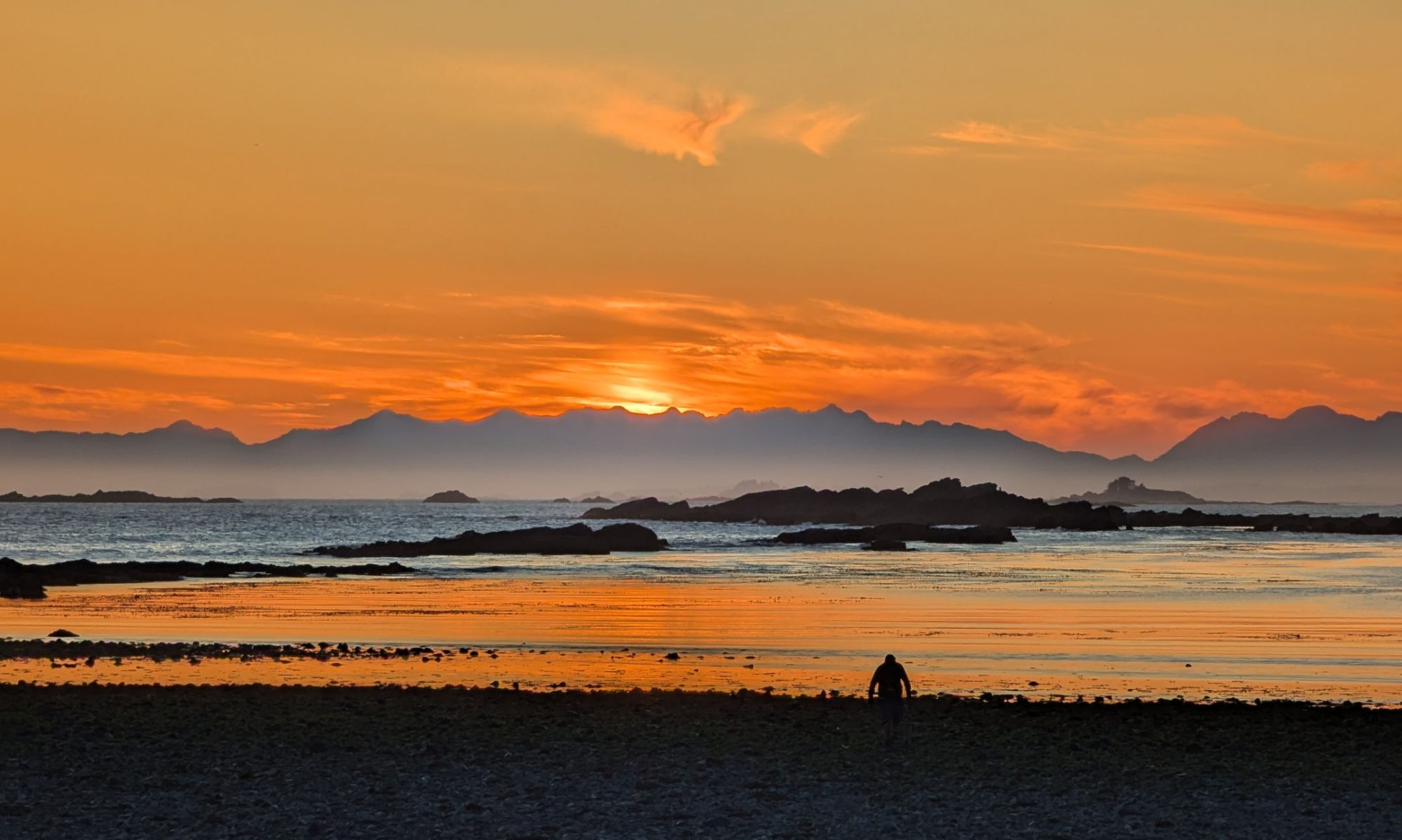
We don’t often get a whole day together for just the two of us. Typically, the entire family goes on our adventures, or at the very least it’s you, Hemingway, and me. In fact, that was the original arrangement, for you both to come with me –and 12 of my closest Ramblers buddies– on our February 3rd summit of Mount Elma. But Hemingway decided to stay home for a swim lesson and his first overnight camping trip away from home, leaving the whole day for just us–our first time!
–submitted by Matthew Lettington, originally published on explorington.com
Mountains are changeable. From a technical perspective, a route may be an easy ascent in the winter season, and a heinous, bush-filled scramble in the summer. Or, of course, it’s possible that winter adds more treachery to a route that’s a simple scramble in the summer. It’s probably because of this duality that first ascents and first winter ascents are documented as different feats.
Thtere’s always time to stop and admire the beasts
I’ll count Big Den Mountain among those peaks that become more complicated when the snow melts. In the winter, Big Den Mountain was an aesthetic, though steep, winter ascent with some adventure between beautiful, mature trees. But in the summer, the approach became a complicated bushy route with at least one unexpected scramble.
Total Distance: 7.2 km Starting Elevation: 789 m Maximum Elevation: 1419 m Total Elevation Gain: 724 m Total Time: 4 hours, 43 minutes and 34 seconds
16 hikers, 2 were members of the Ramblers and 2 were interested in us. The rest were Cowichan hikers, and with the beautiful weather and the route I choose, many wanted to join in. The hike was only 10k but had many view spots and was a wonderful day to be out. Thanks to all who joined.
We watched the weather all week with mostly changing conditions and fingers crossed that our hike would return to an overcast day. Unfortunately the forecast was correct and we started our hike at 7:45am at Raven Lodge in the rain. Although we all donned our headlamps, the sky had lightened just enough to not need them.
After a few adjustments to our equipment, we set off through the trails. Although each of us had hiked in the area before, none of us had led a trip to this objective and therefore we relied upon our navigation device and gpx track to steer us in the right direction. For approximately the first half of our trip towards our summit, we were thankful to utilize the snowshoe trails. However, since the onset of the warm weather, we found we were still sinking significantly most of our steps. We crossed the popular bridge, high above the base of the bridge, and wound our way through the trails, across several groomed cross country ski tracks.
Twelve eager hikers set out earlyish new year’s morning to
enjoy what’s become an annual hike and remembrance of Mike Hordelski.
The weather was ok with mixed cloud and sun with no wind.
The evidence of our recent wind storm was most visible around Witchcraft Lake,
and several trees have fallen since the big blow, so the ground is still
saturated and caution needed. Most of us put on our traction aids around the
third way mark and the trail was easily followed. We met no-one going up and
the views at the lookouts were quite good. There was a lot of snow on the final
third, but the trail was packed and the going was easy.
We had the summit to ourselves for 10 minutes before the
rest of Nanaimo started to catch up. Conditions on top were good with some
changing views. The coastal mountains were quite spectacular. The descent was
uneventful and somewhat slowed by the number of people we met. We heard some
very animated conversation below us at one point and a hiker explained that it
was group of Brazilians in their first encounter with snow. We intended to pass
by the 1942 plane crash site but windfallen trees have all but covered the
wreckage.
It was a grand day and Mike would have enjoyed it. Thanks to all for the pleasure of your company.
This was probably my tenth ascent of Mt. Arrowsmith in the last 15 years for the annual “Katzenjammer” on New Year’s Day. Another great start to the new year.
We started at 8 a.m. with an unattractive approach on the logging spur
Six of us met at Providence Farm for a short car shuttle for our hike across the Tzouhalem ridge. Started with winter jackets but soon we were just down to shirts. The views were beautiful, not many trees down, and the company great. Three were members and three were from my hiking club from Cowichan. A wonderful day to be out.
The results of the member survey are in. We sent the invitation to 126 members and seventy-two responded. Thank you to those folks that participated, the feedback you provided gives the club valuable information that we can use to improve the club. The numbers noted in the report below are based on the responses provided in the survey. The numbers reflect the facts/opinions of members who complete the survey, and there is sure to be a degree of correlation between their opinions and those that didn’t complete the survey; of course, there are always outliers and this report does not reflect their opinions.
Since beginning my project to summit all the peaks in Island Alpine, I’ve spent more time exploring the various unknown peaks and ranges of Vancouver Island than I ever spent hiking more well-known objectives. Sometimes, when I think about the time I’ve spent hiking, driving, and reporting– it’s become very time-consuming– I wonder, Is it worth it? Why am I doing this? Am I still having fun?
These questions are usually fleeting, but they strike like an avalanche. With more than two dozen trip reports in various forms of drafts, it’s a problem that seems impossible to surmount. Especially considering that these were some of the most important trips I’ve done over the past three years: Nootka Island; West Coast Trail; Augerpoint Traverse; Hesquiat Peninsula; three different seven-day kayak trips; Tatchu Peninsula; my Rambler Peak Trip where we summited Devoe and Slocomb; and a half-dozen family trips. These, and about a dozen other daytrips that I haven’t even started writing, add to the overwhelming workload I’ve created. I just can’t seem to keep on top of it. And if I’m not committed to doing them all, then why even do any of it?
Surprisingly, this lost and overwhelming feeling is one that I’ve grown accustomed to in my life. Although it’s easy to be subsumed by the feeling, there is also a small comfort that comes with it. I imagine it compares to an explorer crossing an ocean to an unknown destination: there’s probably something on the other side, and there’s definitely something behind you. The farther you get from the known shore, the braver you must be. Without landmarks to position oneself, it’s difficult to take stock of progress, and sometimes you just have to trust you’re heading in the right direction.
But taking notice of my accomplishments is the key to navigating through the sea of hopelessness, and that’s why I write these reports. On December 1, I was one of a group of six that summited Big Tree Peak in the Prince of Wales Range. The peak itself is hardly worth noting; it’s not the highest, bushiest, or most challenging, nor does it have the best view of all the peaks in the Range. However, it was the final peak I needed to summit in the range. And for that reason, it’s important to take note: I’m making progress.
Big Tree Peak Route
Total Distance: 7.2 km
Starting Elevation: 789 m
Maximum Elevation: 1419 m
Total Elevation Gain: 724 m
Total Time: 4 hours, 43 minutes and 34 seconds