
-submitted by Matthew Lettinton, read the full report on his blog
Winter sent a confusing message in early March. There was obvious evidence of winter’s demise, and I even wrote a few posts saying so. But then winter made a roaring comeback, with some ski hills receiving as much as 200cm of snow. Although this is great news for spring skiing, it makes planning adventures a bit more challenging.

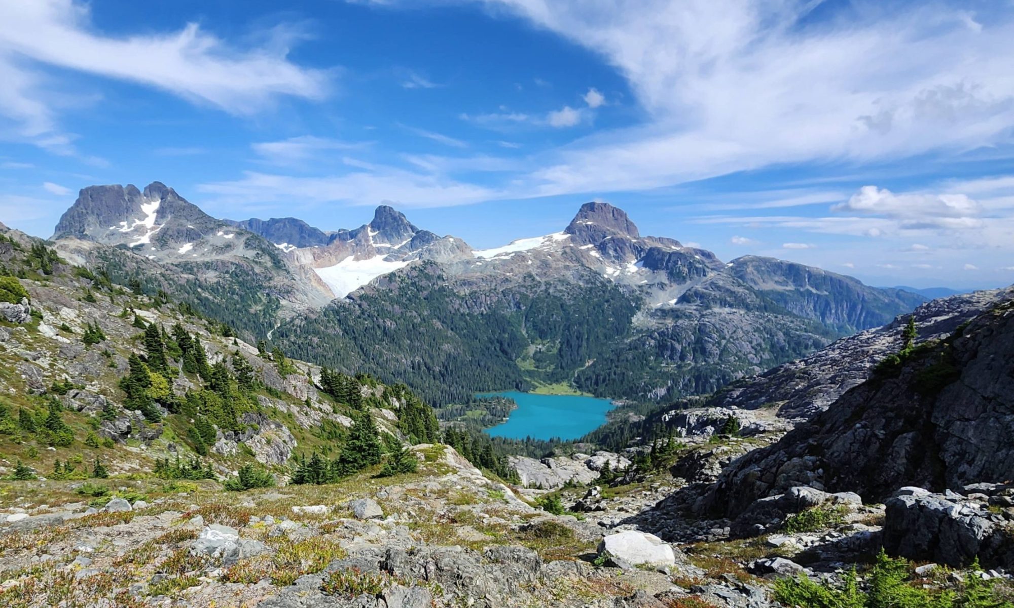
On Sunday, March 6, we intended to adventure in the Bonanza Range, with a goal of summiting Mount Ashwood. With the recent snow and poor layer adhesion earlier in the year, the avalanche risk was set to extreme. After assessing the risk, and our beta for the trip, we changed our plan and picked another mountain: Mount Russell. It’s located north of Campbell River, but not as far as Woss. Another long day in the car was inevitable, but the juice was definitely worth the squeeze, as Phil would say.
In many of my trip reports, I write about getting into situations that require a rope for descending, walking along exposed ridges, or setting protection in the rock in order to reach a summit. In comparison, Mount Russell is an uncomplicated route, ending with some fantastic ridgewalking. For folks looking to get into the high alpine without the exposure that many other peaks on Vancouver Island entail, this is a series of bumps to check out.
 |
| Mount Russell GPS route and Map |
Distance: 10 km
Starting Elevation: 815 m
Maximum Elevation: 1749 m
Elevation Gain: 949 m
Time: 6h 15m


