This file was originally mailed to the members of the Island Mountain Ramblers, in January 1972.
[Note: the IMR is looking for someone to transcribe this document contact president@islandmountainramblers.com if you can do it]

Living the best adventure life, since 1958
This file was originally mailed to the members of the Island Mountain Ramblers, in January 1972.
[Note: the IMR is looking for someone to transcribe this document contact president@islandmountainramblers.com if you can do it]

This file was originally mailed to the members of the Island Mountain Ramblers, in 1969-70.
[Note: the IMR is looking for someone to transcribe this document contact president@islandmountainramblers.com if you can do it]

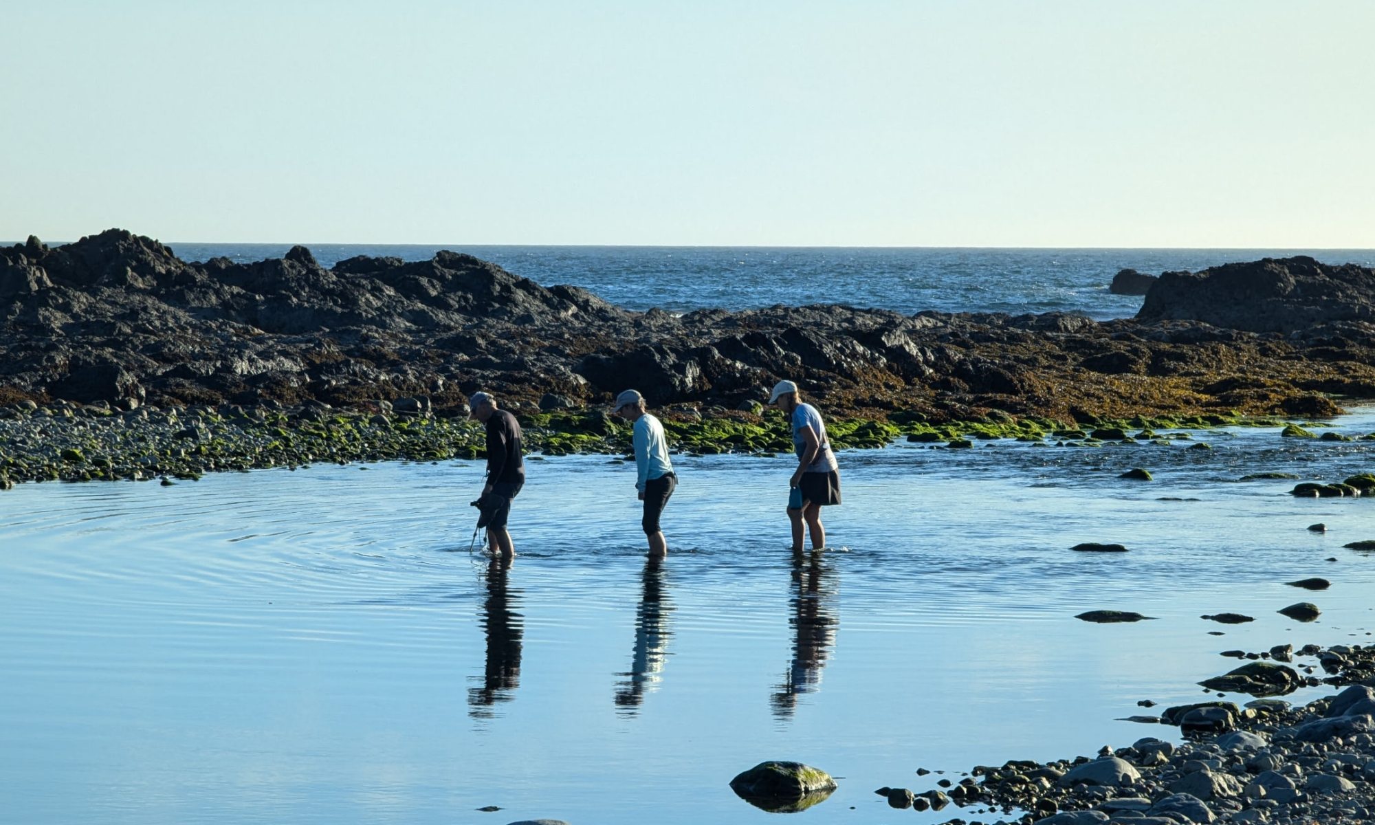
Image Gallery for Cape Scott Trip:


–submitted by Bill Jackson
This will surely be the most inaccurate trip report in club history, given 54 years of opportunities for memory to change things. It was my second trip with the Ramblers, I think. The first would have been Arrowsmith, which at that time was an overnighter from Cameron Lake.
Dates and number of participants are made up. I know that John and Doreen Cowlin were along, and Syd Watts. It was August of 1966, and I remember it as being 2 weeks but given the enhancing effect of memory, it may have been one week. It certainly was memorable, especially considering how close I came to dying from hypothermia.
Gear: Trapper Nelson pack frame with the big canvas bag. The sleeping bag was a wool-filled bag that my family used for summer car camping. Couldn’t afford a tent, so used a sheet of plastic and some rope. Rain gear was a poncho. Probably an old pair of wool dress pants ( serviceable outdoor gear by the way, and very quiet, if a bit lacking in current style). Boots had some sort of flat cord soles. Couldn’t afford Vibram. Food included a lot of Minute Rice and Kraft Dinner. Total weight about 50 lbs.
We went up via Cruikshank Canyon and spent a few days exploring a Forbidden Plateau almost empty of people. It wasn’t part of the park at that time, and of course that was before the ski lodge was built. We met up briefly with a couple of other Rambler members; I think one was Ron Facer. (Another tidbit of memory, Ron used to sometimes carry a couple of rocks for exercise, as if the gear of that era was too light.) And I met one person on the trail to Moat Lake when I went there for a look on my own. That was it for crowds.
We went up Albert Edward and King George V (man, it’s painful that all my photos are long gone) and then on towards Lakes Beautiful. Those lakes are well named. In one spot, the geography gave the impression that the water was flowing uphill.
On the second to last night, it rained fairly hard. I mentioned earlier that my “tent” was a sheet of plastic. There was another person whose pup tent leaked. Doug, from the military base in Comox. Early in the trip, Doug and I had combined our resources, with my plastic as a flyover his tent. He had an air mattress, I just stuffed my spare clothes under my bag. (imagine packing a beach-style air mattress on a trip like that? But the fancy-dancy stuff wasn’t out yet). During the night, the water gradually came in. Apparently we were set up in a hollow. It was cold enough at night for ice to form, and I was completely unaware of the danger. I just knew that it was less cold when i stayed still than when I moved. A couple of “Hey, I’m cold”, answered by “Mmm” until Doug finally flopped his hand down into the water.
“@#%^” or words to that effect.
Doug got a fire going in the drenching rain, someone collected dry clothes for me and gave me something hot to drink. Since my wool sleeping bag was obviously not usable, the last night was spent crouched under my poncho, waking up often enough to throw more wood on the fire and have a drink of hot jello. A more dangerous situation than I realized at that age, but no damage done. My pack was considerably heavier on the way down, though.

— Originally published January 2, 1966
A note about the transcription: Careful attention has been given to the original text. Though difficult to read at times, I have preserved the original text, including any evident typos.
Due to the softness of the snow, the destination of the hike was changed to the ridge South of the Green Mountain Chalet. Cars were driven up the snow covered road to about 100 yards below the parking lot for Green Mountain skiers. From here the group walked up to the skit tow, where Ellen Ware left us to spend the day skiing. From this point, we headed southerly through the trees with different members taking turns breaking trail in up to three feet of powdery snow. Lunch was eaten on the south slope, which afforded us a view of the unnamed peak, which we had originally planned to climb. The snow fell occasionally as we wallowed on to the summit of the southern ridge of Green Mountain, from where we retraced our steps, returning to the cars around 4 o’clock.


Welcome to the nineth year of hiking with the Island Mountain Ramblers. The 1966 Schedule of hikes, which an be obtained from any of the district representatives, has been lengthened, in keeping with the growth of the club.
A number of changes have been made to this club publication, including the name, “Timberline Tales” which was suggested by Syd Watts, and the listing of paid-up members.
At the annual meeting, recommendations will be brought forward for the requirements of members of other clubs to join the Ramblers. After these plans are approved, a combined information sheet and application form, which will be available for prospective members, can be obtained from the district representatives.
:hope that you find the outings on the 1966 schedule to your liking and that I will see you on the hikes.
— Originally published January 2, 1966
A note about the transcription: Careful attention has been given to the original text. Though difficult to read at times, I have preserved the original text, including any evident typos.
— Originally published January 2, 1966
A note about the transcription: Careful attention has been given to the original text. Though difficult to read at times, I have preserved the original text, including any evident typos.
This was the weekend we were to join the Outdoor Club of Victoria on their trip to the West Coast. While we waited at the Duncan Parking lot in the cold rain for the group to arrive, the up-island members reported there waas no rain North of Naniamo. Since we were a self-contained group, and a change of plans would not hinder the Outdoor Club, we headed north to Strathcona Park for the weekend. By the time we reached Parksville, the sun was trying to shine. From Courtenay on , it was a bright, sunny day.
On arriving at our campsite on the East bank of Tlools Creek, west of Buttle Lake, we had lunch. Since the afternoon was free, we drove on up the Elk River valley, through the pass, descended the Heber Valley to Gold River, and continued down its canyon with the many waterfalls and pools. Rock on the side of the road were covered with pink Easter lillics at many points. On arriving at the bay, we photographed the old town of Gold River at the side of the mountain. We were seeing it for the last time, as it would be demolished. While driving back over the new bridge at the Gold River townsite, where the Gold River joins the Heber River, I looked downstream and saw the remains of the old cable bridge. My mind went back ten years or so to when I walked along trails in the area with the big trees trying to meet overhead. What was then a most beautiful river valley was now a slashed hillside, with the Cats workin on the new townsite. I wonder if we have to destroy so much in the name of progress. As we neared our campsite, we stopped to view Elk Breeding on the side of Big Den mountain. We were wondering how they would make out now that a new highway and power lines are to be constructed through the valley.
The nest day dawned quite clear, but clouded up after breakfast, with a mixture of cloud and sunshine during the rest of the day. After getting away to a good start, we hiked back along the logging road a few hundred yards to the point where the south ridge of Mt. Flannigan comes down to the Road. More we climbed up this ridge as it is perfect going along open rock slopes covered with flowers. Due to the late spring they were just coming out. Near the 30000 foot level we came to soft snow. As the peak could wait for another day, we came back down a short way and spent an hour or so by a warm fire, enjoying the view before retracing our steps to camp and supper, followed by a quiet evening by the campfire.
Sunday commenced cloudy with the peaks hidden. Since the weatherman was forecasting rain from the south, we cut the trip short and returned home after a most enjoyable weekend.
[participant names omitted for privacy reasons]