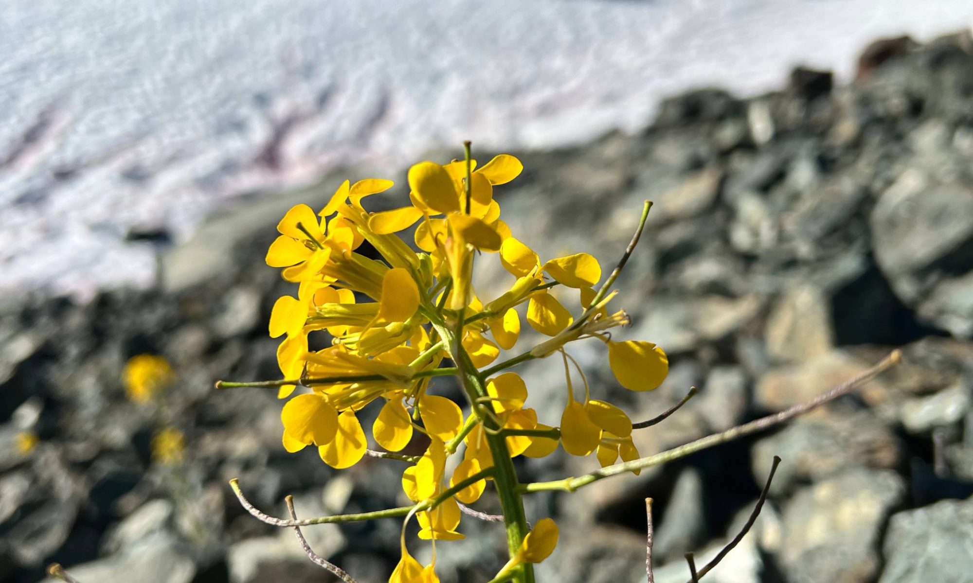


–submitted by Nick Fisch
On July 11, 2026, myself and three other ramblers set out to summit Mount Regan and Jutland Mountain in Strathcona. These are considered two 6,000ft peaks, part of the infamous Alpine Club objective of summiting all 6,000ft peaks on Vancouver Island. Our plan was to run a shuttle, using the Oyster main FSR as an access road, parking one car at the Jutland (North Ridge) trailhead and then continuing on to begin the hike at the trailhead to the North Ridge of Regan. The idea was to summit Regan and then drop down below Albert Edward and hike all the way around to summit Jutland and then descend the North ridge. We used Matthew Lettingtons previous track of Regan (Hiking Mount Regan via The Lower Route – Explorington) as a guide to descend Regan and get to the Strathcona trails leading to Jutland. It was an ambitious plan as we had to get it done within ten hours given the Oyster main gate was only open 8am-8pm (leaving an hour driving each way).

All went to plan in the morning. We got to the Oyster main gate at 8am and the Regan trailhead approximately an hour later. We parked a bit lower down as there is a very steep section of road that my vehicle had barely made it up some weeks earlier. This added ~1km to get to the official trailhead. We were however graced by the presence of a young bear at the parking spot, a good sign! The hike up to the North Ridge of Regan was pretty great, it was surprisingly well flagged and had a decent boot track to follow in most areas. Up into the alpine the ridge becomes quite narrow and really beautiful. I must say, this was one of the more enjoyable ridges I have done on the Island. We summited Regan at approximately noon, and after a quick snack, headed down the south slopes.
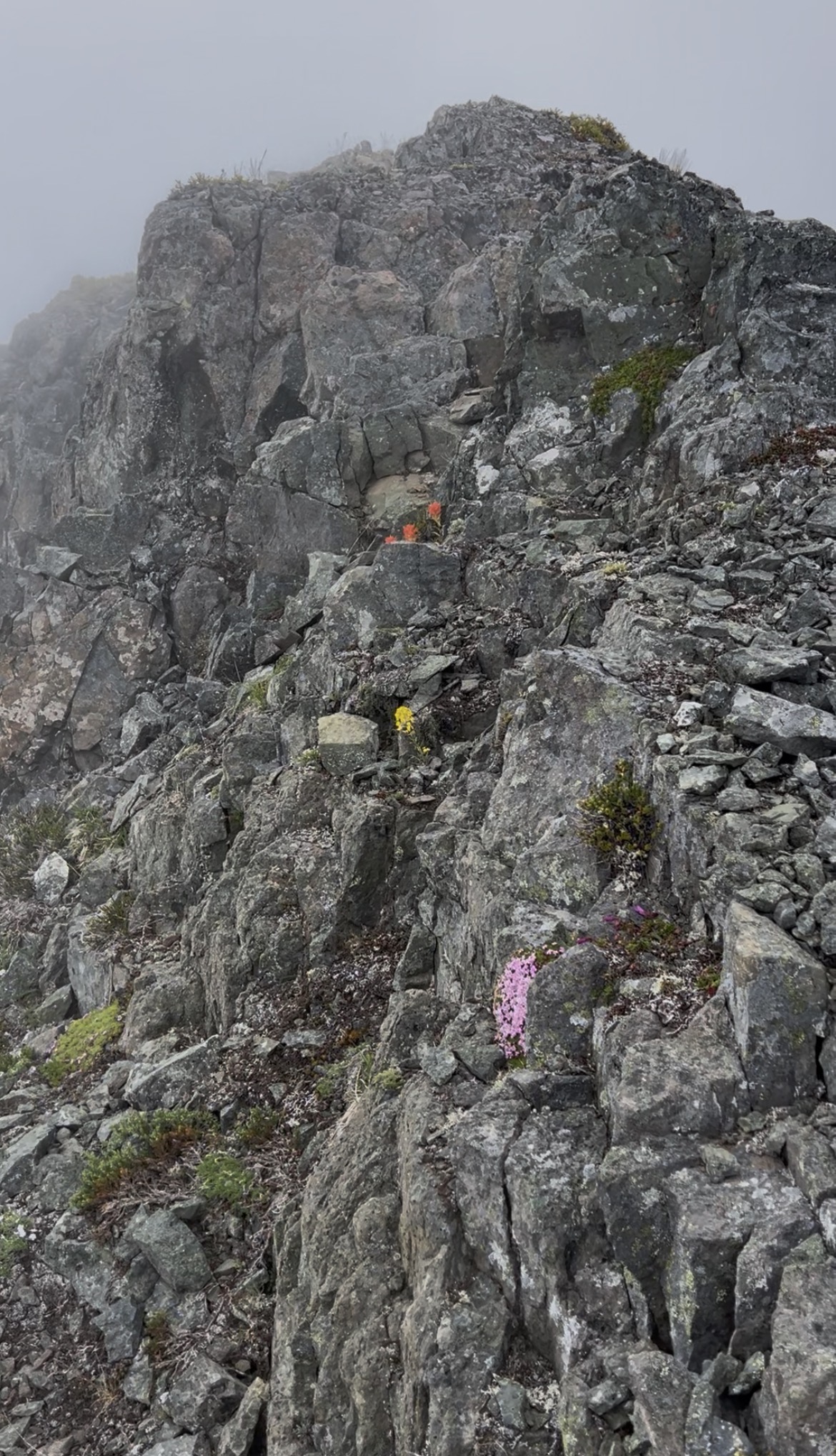
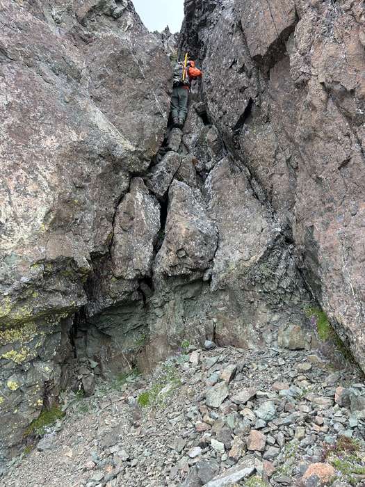
The one tricky part of getting from the summit of Regan to the saddle between Regan and Albert Edward is choosing one of two correct gulley/chimneys. One would be class 4 (more westerly) and the other class 3 (to the east). They are 30 meters from one another so hard to miss if you were going up the south slope of Regan. Three of our party went the way of the 4th class chimney before we found the 3rd class chimney which the last of our party descended. From the saddle, we descended a glacial moraine to the snow slopes below the cliffs of Albert Edward. Then it was a long trudge skirting below a glacier to get to the final gulley that leads back up to the proper Strathcona trails. Definitely bring a helmet on this one as these gulleys are prone to rocks getting shot down.
Once up the gulley we all breathed a sigh of relief and accomplishment to get to the proper Strath trails. From there we followed the Jutland mountain trail and reached the summit at approximately 4pm. We then descended the North Ridge of Jutland, which was beautiful (momma Ptar and 5 babies) but boy went on forever! There was no real trail or boot track to speak of in the subalpine of Jutland. We just followed the route that exists on most gps apps. However, surprisingly the second we got back into the forest, flagging and another well-worn boot track appeared! This took us all the way down to the FSRs on the North Ridge of Jutland, which we had to trudge all the way down as we had parked our second car on the Oyster Main at the bottom of Jutland (there is a blockage on the Jutland FSR spur). It started to rain a decent amount as we descended the FSR. We got to the shuttle car at approximately 7pm and after running back up to the other car, barely made it out the gate with a minute or two to spare!
Overall a fantastic trip and two 6ers off the list!
Final Statistics: 20.5km, 1500m elevation gain, 8hrs moving, 10:30 moving time.
Email me for gps track (nickcfisch@gmail.com)


