Another fine day on the high ridges of Vancouver Island! Six members total participated in a traverse of Wesley Ridge on August 28th. This is a much-loved hike for the club and is one of the club’s Ridge Rambler objectives. Even though another leader led this route just a week prior, I led it again as a last-minute addition to the calendar when I cancelled a more complex trip.
Maple Mountain Ramble was 12.8km and 850m elevation gain. I had 3 Ramblers, and 3 Outdoor Club members. We went to some parts of the mountain where others had not been.
It was promising to be a hot day when 5 of us met at the trailhead at 9. We kept a good pace for the 2 or 3 kilometres to the point at which we entered the ravine via a steep and dusty descent.
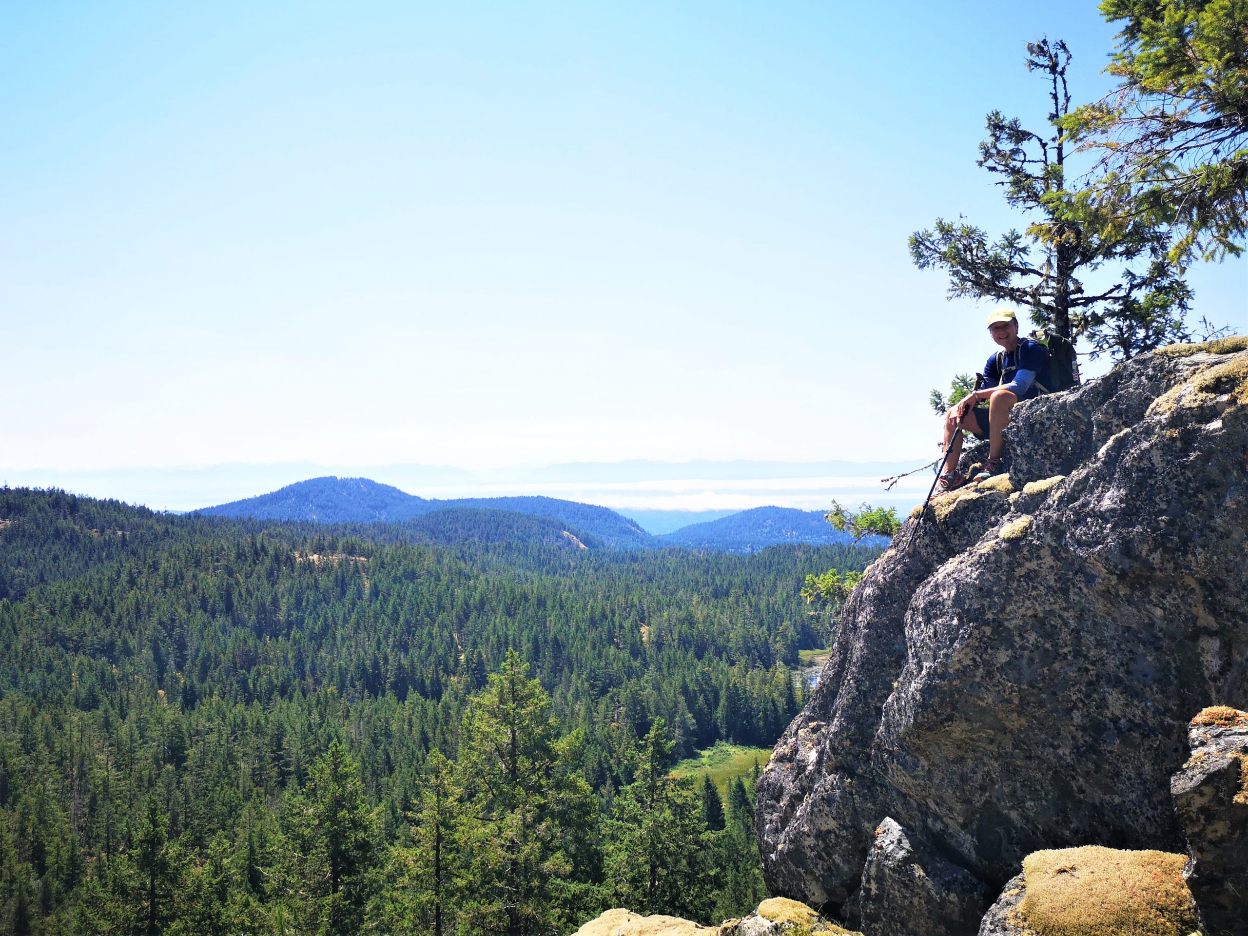
The Island’s backcountry isn’t immune to the sways of social media. It seems like every summer there’s a new fevered interest in some area or other. A while back, everyone and their dog wants to reach Century Sam, and this year’s flavour seems to be 5040. It’s not difficult to point to the cofactors that drive people to these places: FOMO, Moral Panic, and various social media play their role. But how does one place become “the place” in any given region/year? And, what I want to know is why hasn’t Pogo Mountain become one of those destinations?
descending from the the upper ridge on Pogo Mountain
July 19th, another warm day to slog up Mt Prevost (Swuq’us).
There were seven of us between the Ramblers and OCV. At 9:00 am I left even though we were missing one but like I always say, 5 minutes early is on time, on time is late, and late is not acceptable.
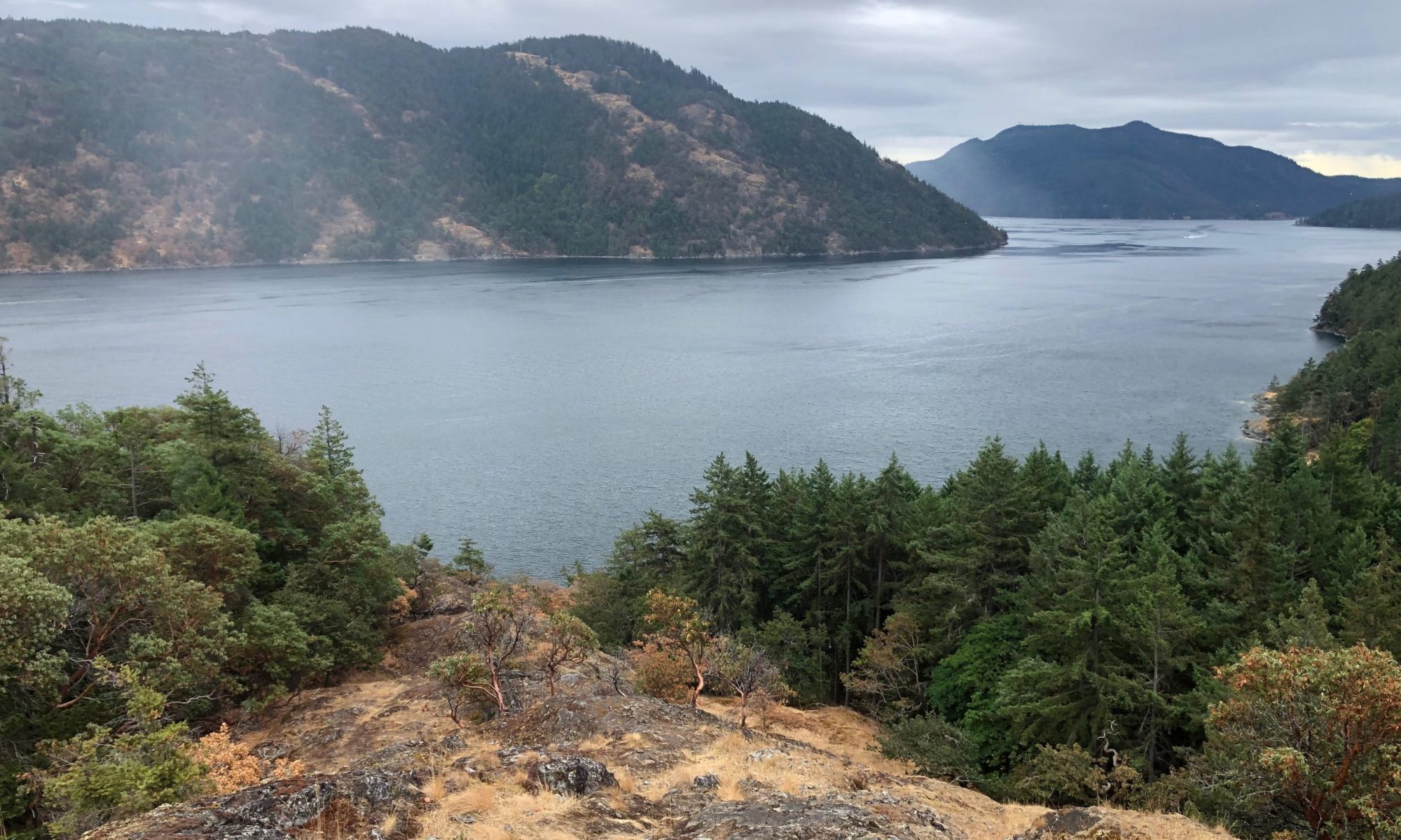
It was a hot day to hike 16km, 850m elevation gain in the Sooke Hills Saturday, July 10th. Lead the hike for Island Mountain Ramblers and the Outdoor Club of Victoria.
We hiked from Charters River fish hatchery up Monument Mountain, had a well-deserved snack, and then headed to Grassy Lake, where the lilies were a spectacular sight. A quick break here and off to Mary’s Peak, 3 hours from when we started. A well-deserved lunch and I told them how I got a name on the map. I told them many years ago there was not much of a trail there, and at a difficult time in my life, I found peace there never seeing anyone there. After few times of going there, I mentioned to a few people how I just felt so good here, and the next thing I knew Mary’s Peak was on Open Street Map.
I have led many groups up here, and each time I am here a feeling of happiness comes to me, and I think everyone on the hike shared that happiness with me today.
After some pictures, we hiked back to Grassy Lake and heading down the Grassy Lake Trail back to our vehicle. It took us 6 hours.
It was good to share the day with so many that have never hiked here before, some that came from quite the distance. I have been leading hikes for over 25 years and I am always thankful to show people the beauty in every hike I lead.