With cooler temperatures and light drizzle in the forecast four of us gathered at the “old Forbidden Plateau Ski hill” trailhead under overcast skies. After a few minutes spent catching up and discussing the day’s plan we headed downhill, replete with the expected commentary about starting a hike downhill, to pick up the trail to Boston Creek.
On Saturday, March 14, I led a small group on a snowshoe trip to Lake Helen Mackenzie. It was two families, me with my two children, and Jes with his son Trace. It was Hemingway’s first-time wearing snowshoes to walk, even though the conditions didn’t require it. We had very sunny conditions but cold air that kept the snow very dry and the sky clear.
Ah, lucked out with another beautiful day snowshoeing up Mt. Elma with a wonderful group of nine members of the Island Mountain Ramblers.
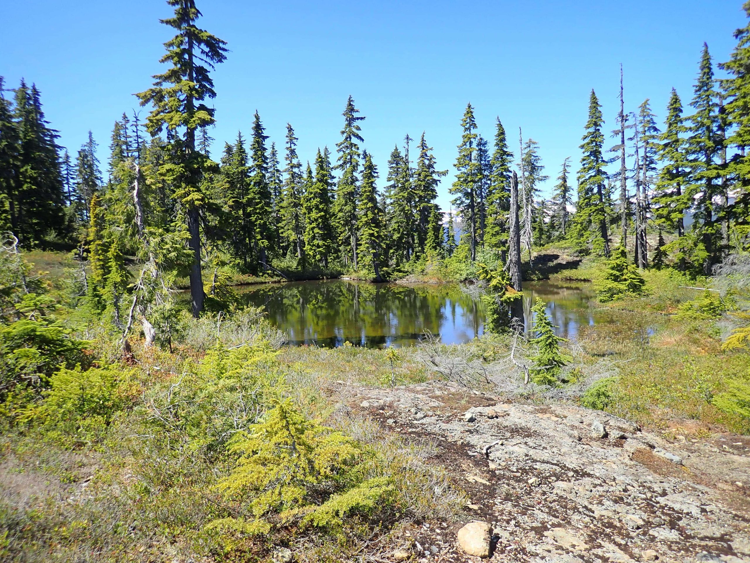
We started out from Raven Lodge at 9:45 and meandered through Paradise Meadows, then up to Battleship Lake. The snow in the trees! The view of Strathcona’s peaks from the summit–oh!
12 people enjoyed a mellow rambling hike to Mt. Drabble. The access was from 8km of logging road, off the second chain up area on the Mt. Washington road.
I’m a prisoner to my work schedule, and my summer vacation kicks off in the final weekend of June. However, since meeting Phil, I’ve come to participate in an annual pre-summer trip known as the Birthday Hike. This annual prelude-to-summer trip has brought us to some of the best places on Vancouver Island.
Wolf Mountain
For two days, starting June 22, 2019, we set our sights on the three peaks which rise high along the ridge, on the west side of the Elk River Trail. The ridge is among the best Island Alpine I’ve had the pleasure of hiking; its near-pristine nature is protected by the awful bushwhack of Butterwort Creek on one end and a gnarly few steps on the other. It’s the type of terrain that is only visited by the crazy few who would seek out these diminutive objectives over the many giants of the Elk River Valley.
Total Distance 28.6 km
Starting Elevation: 312 m
Maximum Elevation: 1826 m
Total Elevation Gain: 2421 m
Friday, Aug 16: At 8 am, nine of us met at the resort at Great Central Lake to catch the Della Falls water taxi. Due to our numbers Doug, owner of the water taxi, had arranged for two boats so we could all arrive at the same time.
The party of six Ramblers set off from the well marked parking area on Western Mine Road. From there the group started the trail that climbs and weaves its way into the alpine. The relatively gentle gradient that gains 1,100 meters to the ridge crests at kilometre 8. The trail is dispersed with a few rolling treed areas that offer some relief from the grade as well as an impressive view point over looking the Myra Falls mine site.