–submitted by Matthew Lettington, originally published on explorington.com
On June 23rd & 24th 2018, I was one of five Island Mountain Ramblers who summitted Nine Peaks, located on the southern boundary of Strathcona Park. It earns its name from the nine distinct peaks that rise out of the Beauty Glacier, forming a line that runs along a northwest axis. Our trip was planned as an annual birthday getaway – one of Rick and Phil’s long-standing traditions – and was a reprisal of a failed daytrip to Nine Peaks, on the same weekend in 2017. Having been beaten back on the first attempt, we came with the intention of completing the trip as an overnighter.

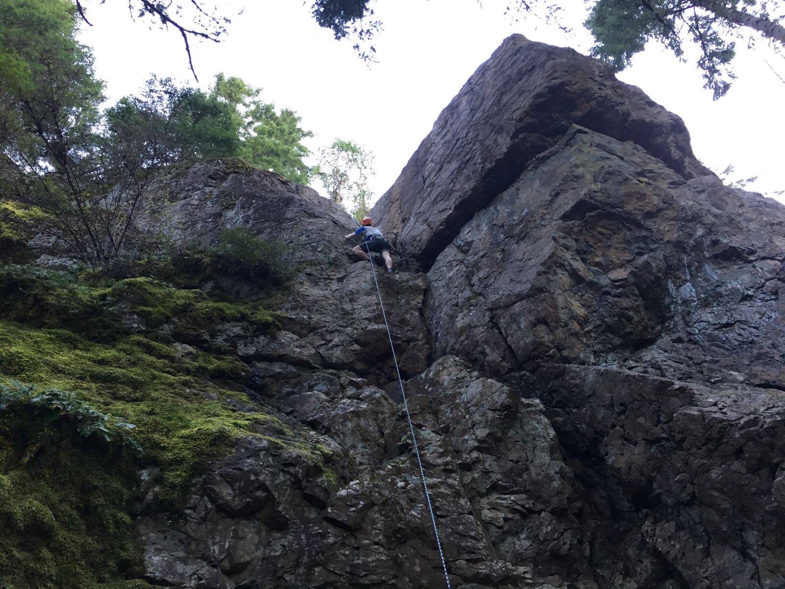
Our route originated at the Bedwell Lake trailhead, and by the time we were back at the car we had covered 38 kilometres and more than 3500 metres of elevation gain. The trip involves route-finding challenges that change with the season, terrain difficulties that may require scrambling, and the need for self-arrest skills. On top of the physicality of the route, it’s also mentally challenging. There are many sections where you gain elevation, lose it, and then regain it. It includes either two summits of Big Interior Mountain, an airy traverse from the saddle or, at least, an airy traverse around the base of the summit massif.

Total Distance: 34 km
Starting Elevation: 515 m
Maximum Elevation: 1849 m
Elevation Gain: 3068 m


-min")