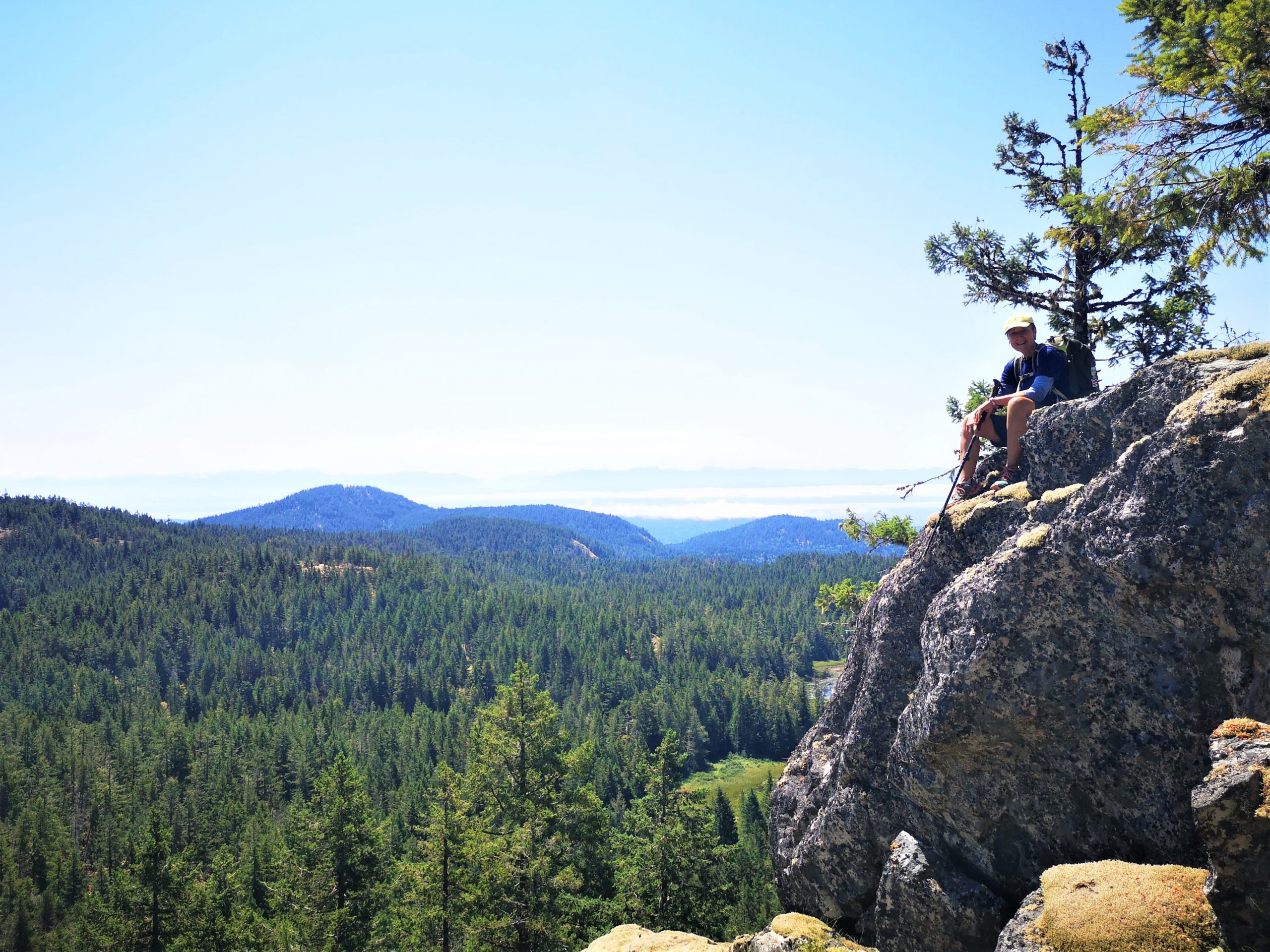
A fine day in the Sooke Hills with 5 humans, one Dog (Huxley) and innumerable ticks. We tackled the Larkspur to Empress Ridge Ramble and a moderate pace.
Typical terrain- Slippery spots, logs for “under over”, bogs to detour, lake and peak vistas to admire.
17 kms, almost 1000m elevation gain and a short car shuffle from Charters to Parking Lot #2 to avoid 2 kms of Goose walking. Total time: 7 hours on the trails.
Photo credits: Adam Bowman Group Selfie: Su Castle
Winter is coming, which for me means ski trips and gulley climbs. However, after coming off the summer high and dipping into the fall low, I needed to start getting out again to build the necessary fitness. The Sooke Hills are a convenient place to train and keep up the fitness for those of us on the South Island. I had spent a lot of time exploring the area a few years ago, but the North West corner of the park was closed due to the Old Man Lake fire of 2024. Hence, this trip gave me an opportunity to get out into one of the last parts of the park that I haven’t yet explored.
I was joined by three other Ramblers and a special guest from UVic. It was a good mix of participants – some seeking fitness, others checking off the Sooke Hills challenge. Our guest was gathering data on risk in outdoor activities as part of an Anthropology course, which led to some interesting discussions during the trip.
Seven Island Mountain Ramblers met at the Sooke Hills parking area for a rolling stroll through the foothills. For those who know the area, the Sooke Foothills host a maze of intersecting and sometimes faint trails—so naturally, I managed to lose the route within the first 100 feet on a very wide and obvious trail. Fortunately, a quick correction had us back on track in no time. Continue reading “Run Ragged in the Sooke Foothills!”
I’ve said it before, but it’s worth repeating—when there’s too much snow in the mountains, the Sooke Hills offer a fantastic alternative for logging kilometres and racking up elevation gain! With their dense, mossy hills, beautiful glades, and a network of trails ranging from well-maintained paths to forgotten routes, these hills are a playground for adventurous hikers looking to stay conditioned through the shoulder season.
After a few last-minute changes to the roster, Julianna teamed up with Matthew to lead this wander through Sooke. The highlight was walking a few of the less-used trails in the region.
I led (with Ray Billings help) a hike for 8 Island Mountain Ramblers that took us 9 hours and 15 minutes. 1100m elevation gain and 22km. This hike was a Ridge Rambler hike. The weather was good, the wind kept us cool.
The Sooke hills trip was a real day to soak up the west coast sunshine. The winding route took us up and over Larkspur, Rick Peak, Marys Peak, Puzzle and Screen Hill.
Well it was to be the Sooke Hills with 10 people plus 3 others from Cowichan. The day of the hike it was Mt. Richards with 2 Ramblers and 3 other friends. I don’t blame anyone for canceling in the wet forecasted weather report for sure, I myself do not like hiking in rain. I must say 50 emails later of either people canceling or adding their name is a bit of a comedy. I changed it to Mt. Richards as Duncan was mid way between Victoria and Nanaimo. I want to thank Danial for braving the weather and coming out from Nanaimo. As it turned out we got no rain, and we had a wonderful hike. I did a different route from what Danial did before and he was very pleased.
It was a hot day to hike 16km, 850m elevation gain in the Sooke Hills Saturday, July 10th. Lead the hike for Island Mountain Ramblers and the Outdoor Club of Victoria.
We hiked from Charters River fish hatchery up Monument Mountain, had a well-deserved snack, and then headed to Grassy Lake, where the lilies were a spectacular sight. A quick break here and off to Mary’s Peak, 3 hours from when we started. A well-deserved lunch and I told them how I got a name on the map. I told them many years ago there was not much of a trail there, and at a difficult time in my life, I found peace there never seeing anyone there. After few times of going there, I mentioned to a few people how I just felt so good here, and the next thing I knew Mary’s Peak was on Open Street Map.
I have led many groups up here, and each time I am here a feeling of happiness comes to me, and I think everyone on the hike shared that happiness with me today.
After some pictures, we hiked back to Grassy Lake and heading down the Grassy Lake Trail back to our vehicle. It took us 6 hours.
It was good to share the day with so many that have never hiked here before, some that came from quite the distance. I have been leading hikes for over 25 years and I am always thankful to show people the beauty in every hike I lead.