
September 30th, 2023
~ submitted by Mary Hof
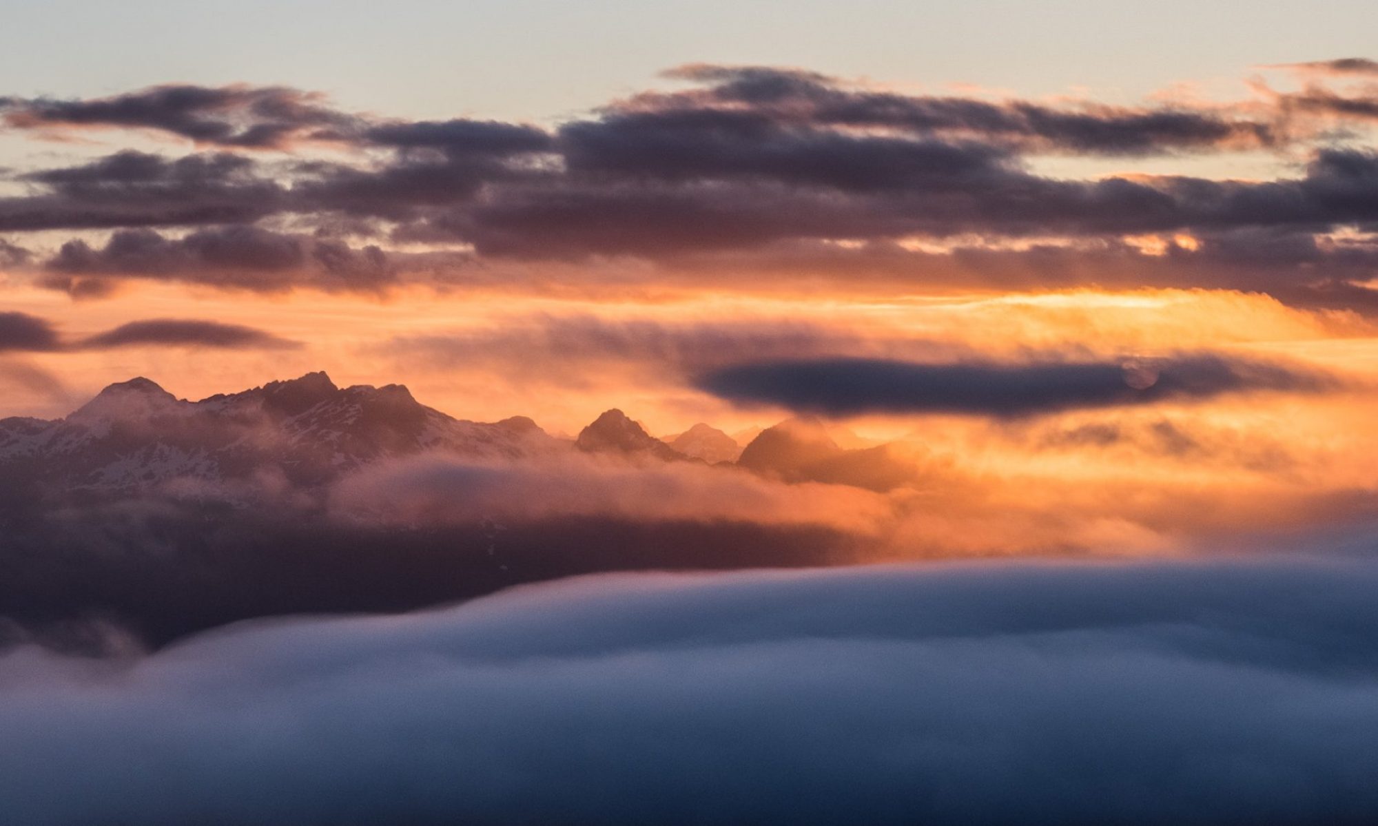
Today I led a group of 8 on a hike to Mt. Apps for the Island Mountain
Ramblers.
Mt Apps is the second highest summit in the Beaufort Range and overlooks the east
coast of Vancouver Island as well as the Alberni Valley to the west and south.
It also presents excellent views of the southern part of Strathcona Provincial
Park to the northwest. We could see forever today.


