Co-operative weather, beautiful colours and interesting conversation characterized a Ramblers Maple Bay hike on Oct. 27. The four of us (including a first-timer) headed out from the Chilco Rd trailhead at 9:15 am.
When the weather turned to crap on October 28th, we abandoned our plan to summit Steven Peak in the Tlupana Range and turned our eyes to something much closer to home: Heather Mountain.
You may be surprised to read that I haven’t done this common south island hike, but the long logging road approach never really appealed to me, when there are so many other objectives on our list that don’t require 15 kilometres of walking on hard, unaesthetic logging road. However, earlier that week, I caught wind that the gate might be open and sent Phil a message about the possibility. Rather than walk through the downpour of rain on an unknown route on an unfamiliar mountain, we decided to make an easy day of it.
an idyllic mountain scene
We got lucky! Indeed, we did find the gate unlocked. Even better, we found that a kind soul had brushed out the upper sections of the old logging road, creating what I’ll refer to as an ATV track to the end of the road.
Total Distance: 4.8km
Starting Elevation: 1053 Em
Maximum Elevation: 1346 m
Total Elevation Gain: 392 m
Total Time: 2h 12 m
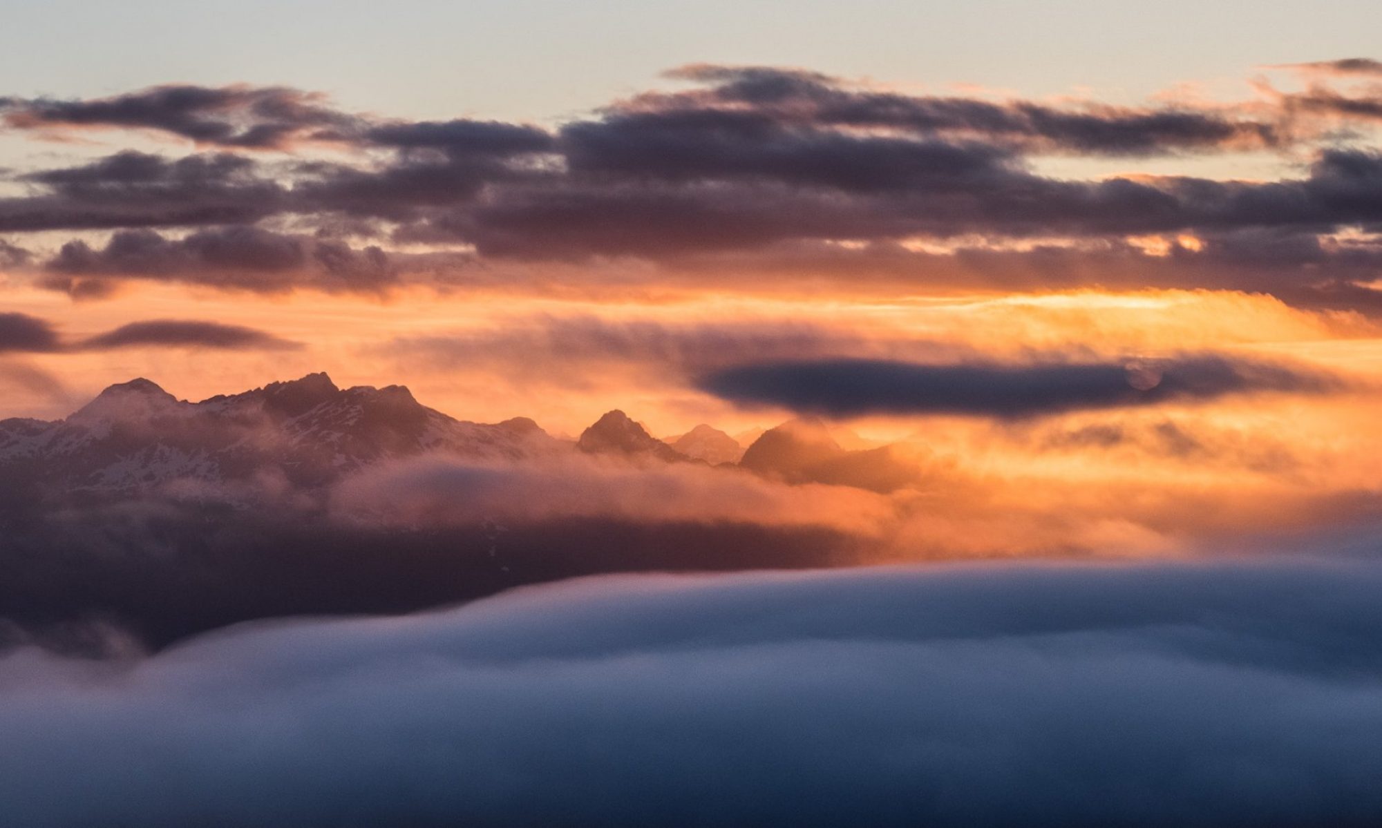
Winter 2018 took its sweet time arriving on Vancouver Island. Many Vancouver Islanders eagerly watched the forecast as they tuned their skis and took stock of their winter gear. I too anticipated a beautiful winter pursuing adventure in the white stuff. Yet, by late October we were still waiting for the first hints of snow to hit the alpine. Fortunately, in the seemingly endless wait between the hot summer and the white stuff, there was a lot of fantastic fall hiking.
That bump is listed as the summit; har har
On October 18th we had a fantastic day; ideal for the type of hiking we wanted to do in the Prince of Wales Range. I love hiking the peaks in this range. They offer easy access to what I’d call mostly-easy hiking–except for the bush. And on top of the quality of the hiking, the mountains, Roberts, H’Kusam, Springer, Stow, Milner, Kitchener, High Rigger, and Big Tree all offer stellar eastward views of the Johnstone Strait. Plus, if you have a clear day you get views of the Coast Ranges including Mount Waddington; while, to the west Victoria and Warden stand prominently on the horizon. The views are tough to beat (in my opinion only surpassed by the view from Tyee Mountain).
Mount Roberts Route and GPX by request
Total Distance: 12.9 km
Starting Elevation: 744 m
Maximum Elevation: 1485 m
Total Elevation Gain: 878 m
Total Time: 7 hours Continue reading “Mount Rorberts”
On October 14th, I led a small group of Island Mountain Ramblers on a relaxed hike to Green Mountain. Octavia (25 months old) and Hemingway (5 years old) came with us to enjoy the day, and they were the primary reason for the pace. The weather was perfect. The frost from the evening before still lingered in the shadows, but the sun warmed the open terrain, illuminating the spectrum of colours around us, and the valley surrounding the mountain.
Release the beast
The brilliant reds, yellows, and purples of leaves dangling from branches created a rich tapestry on the hills around us. The large field of bracket ferns had already died, yet their brown corpses still stood tall, dried by the sun, and as we walked through them their feathery fronds brushed against us. The bright colours of the fall were contrasted by the stark green of the evergreens that dotted the route.
Total Distance: 5.2 km
Starting Elevation: 1085 m
Maximum Elevation: 1464 m
Total Elevation Gain: 378 m
Total Time: 3 hours, 45 minutes
Wet. It was wet. It was very wet. This doesn’t even come close to describing how wet we were by the end of the day. It was the kind of day where any effort or equipment used to contravene the water would result in failure; so, we left our raingear in our backpacks with our dry clothes in case we needed them to get warm—a smart decision. It was the kind of day where I saw water well out of the cuff of Clarke’s boot when he stepped down onto a rock, and oozing out of the tongue of Phil’s boot when he flexed his toes.
these are the faces of fatigue
Total Distance: 9 km
Starting Elevation: 225 m
Maximum Elevation: 1258 m
Total Elevation Gain: 1140 m
Total Time: 9 h 15 m
This trip received so much interest initially that a second trip running the opposite direction was scheduled and Julianna W graciously agreed to lead the second trip, although she was very quick to call shotgun on the downhill version – somehow predicting the benefit of finishing the day with lakes, rivers and rapids along the trail rather than starting the day against the flow. By the morning of the trip, partly due to normal attrition and partly (mostly) due to an “inclement forecast” the overall group size shrunk to 9 and we all started from Raven Lodge for a generally downhill ramble to Wood Mountain.
With trip planning spanning several months, complete with no shortage of shenanigans with the BC Parks reservation system, and the usual last-minute evolution of attendees, the trip date arrived. As an added bonus feature, we had an up to date weather forecast that suggested a “wee bit” of rain and some snow accumulations below the summit elevation, which cast some doubt on the potential for a summit as well as on the state of mind of those hardy hikers who stuck to the plan.
The transition between summer and fall was exceptionally rapid this year. After months of hot, dry weather, a cold front rolled in and brought temperatures below ten degrees and a deluge of rain that seemed to last for weeks. Even my five-year-old son noticed the change: “Dad, is it fall now?” Apparently so.
For me, the seasonal transition marks a time to reflect on my summer of accomplishments and disappointments, and to set new goals! New goals give me something to look forward to during the upcoming winter and help me plan out the next summer (I’ve already planned more than twenty days of trips for summer 2019). Between Phil and me, we have a lengthy list of multi-day adventures that we have been putting off, and this is the year to do them.
Phil on the summit ridge– it looks far!
Part of the planning for these trips is observing the inspiration that comes from reviewing the accomplishments of my online friends, via social media feeds. This summer, the algorithms inundated me with many stories about canyoneering. But, because I’m still only halfway through my Island Alpine Quest –a massive list of peaks– I didn’t dare dream too deeply, because I am committed to my current obsession. Perhaps this is why I never imagined finding myself in a steep-walled canyon, and I certainly never expected that experience to come on the descent of Mount Leighton, but that’s precisely what happened.
Total Distance: 11.3 km
Starting Elevation: 363 m
Maximum Elevation: 1409 m
Total Elevation Gain: 1086 m
Total Time: 7 hours, 41 minutes
Beautiful area. Easy canoe voyage across the lake, nice open switch backs to the alpine and easy terrain spotted with turquoise lakes in Marble Meadows. Complete with Karst sinkholes, caves and fossils galore. Easy camping, good water (even after this very dry summer) and tall, but not difficult, mountains. The whole group successfully climbed both peaks we set out for, and five of us added Marble Peak as an extra (a bit spicy and exposed). Spent the one rainy evening/night in Wheaton Hut luxury. Could have easily done the trip beginning Saturday morning early (we started Friday afternoon). Wind at our backs both ways across the lake!
When I was new to mountaineering, I was often intimidated when I listened to experienced mountaineers talk. They always seemed to know where they were and could easily identify the peaks they could see all around them, when to me it just looked like a sea of peaks. Further, they would talk about the names of places and trails as though they were commonplace. Features like the Augerpoint Traverse, and names like Mount Albert-Edward, were just two of the many names everyone (other than me) seemed to know. It was overwhelming! Although I was interested in learning about the places, names, and locations, I couldn’t imagine a time when I’d be able to identify them all.
Fast forward eight years, and today I can identify the shapes of many peaks amongst the sea. A big part of that is visiting a wide range of places, though I still struggle when I visit a new area. On top of being able to identify places, I’ve also met many of my hiking goals. Since I started hiking, I’ve hiked many of the most common access points to Strathcona Park, and even managed to hike one of those routes I heard about long ago: the Augerpoint Traverse (sometimes referred to as the Mount Washington to Buttle Lake Traverse).
Horizontal Distance: 47.8 km
Average Speed: 0.5 km/h
Starting Elevation: 291 m
Maximum Elevation: 2092 m
Total Elevation Gain: 3064 m