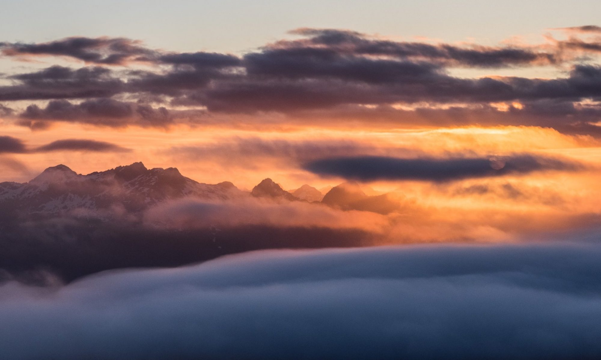
Located in the Genesis Range on the northeast edge of Schoen Lake Provincial Park, Genesis Mountain is far from a well-known mountain. It’s out of the way, and surrounded by more impressive objectives, but if your mountaineering interests include easy rambles along alpine ridges, then add Genesis Mountain to your bucket list of Vancouver Island hiking destinations.
After a stellar early-season snowshoe up Mount Romeo, we had high hopes for another early-season snowshoe trip. Unfortunately, when we arrived at the start of our route, we were surprised to discover that the accumulated snow from just two weeks prior had melted — that’s a lot of melt! On the plus side, we parked at the highest point of the road (~1200m).
Every once in a while, one of my adventures doesn’t live up to my expectations (ahem, West Coast Trail). Be it an error in planning and predicting terrain, or environmental conditions, sometimes a trip is either much easier or much more difficult than anticipated. In our planning for Mount Adam, we anticipated that we’d be anxiously gritting our teeth as we hung on for dear life and dragging aching legs by the end of the day. But on April 29th, we summited rather quickly, and avoided the teeth-grinding, mostly.
I overestimated the difficulty of this trip based on two factors, the first of which was poorly predicting the elevation of the snowline. The second and most significant factor relates to a prior trip to Mount Schoen, a mountain located on the same ridge. On that trip, we accessed the connecting ridge between Adam and Schoen via a steep, long (>1000 metre elevation) scree slope. It was an experience that ended a pair of Phil’s much-loved shoes and scared us, and even two years later — more than 80 mountains — we still frequently reference the experience. That slope has become a benchmark of sorts when comparing terrain on all our trips.
Total Distance: 5.6 km
Starting Elevation: 861 m
Maximum Elevation: 1727 m
Total Elevation Gain: 871 m
Total Time: 5 hours
One of the reasons I’m drawn to travelling in Vancouver Island’s wild places is the charge I get from overcoming the challenges associated with it. It’s not the challenges that I’m attracted to, nor some sort of macho self-reliance; rather, it’s proving to myself that I can do it. It’s setting a goal and finding a way to achieve it. It gives me a way to measure my successes. And wow, I’ve had a lot of failures over the years.
I can’t say there’s a secret to finding success, at least not one this post is going to offer, because success is a feeling that each of us measures differently. But, generally speaking, finding success includes learning a lot of lessons, and gathering a lot of knowledge. Travelling in the backcountry is no different.
Some of these lessons are easy to gather. They can be found on the internet, in a book, in a formal education setting, or shared among friends on a hike. But there are just as many that can only be earned through lived experience. It’s these lessons that sometimes must be learned over and over before they become part of our way of being. I thought a lot about this on my April 15th trip to Canoe Peak in the Mackenzie range.
On my first (failed) attempt at Canoe Peak from the micro-dam, we were rewarded with excellent views, but avalanche conditions turned us back. This time, we arrived at the trailhead with knowledge of the route, provided by a few friends who had summited just a week earlier.
If you’re like me and love hiking the alpine of Vancouver Island, then I recommend you make time for a trip to Tyee Mountain. Despite its form only rising to a height of 1670 metres, it offers views of the Salmon River to the east and the Gold River valley on the west. Even better are the views of the surrounding ridges and peaks, including at least five of the tallest peaks on Vancouver Island. There’s just one problem: getting to it.
Total Distance: 29.9 km
Starting Elevation: 350 m
Maximum Elevation: 1671 m
Total Elevation Gain: 1758 m Continue reading “Tyee Mountain”
Most people mark the passage of time by annual events in their lives like birthdays, holidays, the New Year, and so on. Since I’ve started my Island Alpine Quest, I’ve started marking the march into Spring by how early I leave home on Sunday morning. During the winter, my departure from home is timed so that we arrive at the trailhead when the sun is rising, allowing us to maximize the daylight hours for hiking. As Spring emerges, the long winter nights erode, and the days get longer, we start to plan longer, more challenging routes. This means that in order to reach the trailhead at dawn, we find ourselves leaving home earlier and earlier; by mid-April, it’s not uncommon for us to leave Nanaimo at 4:00 am and do most of our driving in the dark. This was certainly the case for my March 22, 2018 trip to Big Baldy Mountain.
Climbing out of the gully; looking back on the logging road approach
Big Baldy Mountain is a broad, treeless summit west of Gold River. In fact, from the summit, you can clearly see this shrinking west coast town. It’s not the most challenging or aesthetic mountain on the island, and it doesn’t offer amazing views, so it’s no surprise that most mountaineers won’t make it here. Instead, they are lured in by the more dramatic peaks of Strathcona Park; you have to drive many of them on your way to Gold River. It’s also overlooked as a destination because while the ridge is easy to access, getting to the summit takes some route-finding skills that will challenge those more interested in an easy trail walk.
Even for those that will add Big Baldy Mountain to their list of destinations, snowshoeing to the summit like we did will be an even less popular choice. But for anyone who does, they will revel in the forested west ridge, snow-covered mountaintop, peekaboo views of the west coast, and one of the finest butt-sliding opportunities on the island.
Distance: 19 km
Starting Elevation: 500m
Maximum Elevation: 1450 m
Elevation Gain: 1750 m
Time: 9 h
Read the full report and see more photographs on Explorington.com
Dear Hemingway,
You’re four-and-a-half years old now–time sure flies. I made only two resolutions for 2018, and the first and most important one was to get my whole family out on a mountain adventure (Paradise Meadows doesn’t count). You’ve been my adventure companion on many trips, but it wasn’t until our January 6th trip that we summited our first mountain together: Mount Elma. It was a lot of work, but well worth the effort to see your smile when we crested the hill and walked out onto Mount Elma’s summit plateau.
Mount Elma Map and GPS route
Total Distance: 12 km
Starting Elevation: 166m
Maximum Elevation: 1418 m
Total Elevation Gain: 446 m
Total Time: 5h 30m
–report by Wayne Mills
— photographs by John Young
Mount Arrowsmith (Judge’s-Route) was stunning, on January 1st. The largest mountain on southern Vancouver Island, definitely one for the more experienced hikers. It took us 6.5hrs at a steady pace, from dusk till dawn, steep and slippery, heart rate raiser and old injury breaker (knees/lower back). Snowshoes are not required. Crampons, poles, and axe are definitely required.
It’s official, I’ve lost all my summer fitness! It was a long slow decline to the state I’m in now, a fact that was made painfully apparent on my snowshoe trip up Mount Elliot. But, I’m looking forward to a winter full of snowshoeing, skiing and family fun in the snow. And who knows, maybe I’ll kick myself back into shape again!
If you’re looking for a great snowshoe mountaineering trip, Mount Elliot may be the trip for you. Aside from one or two short, steep sections at the top, it’s a lovely route up the side of the southwest side of the mountain. The reward is the summit. On a clear day, the lucky mountaineer is rewarded with spectacular views of the Bonanza Range and the Johnstone Strait. It took me two attempts to reach the summit, but it was worth it!
When it comes to winter travel, I’ve always been motivated by finance over fancy; as such, I’ve found my adventures by boot or snowshoe. But in December 2016, I bought a used set of ski touring gear, which has opened up a variety of options for travel. Although I’m familiar with hiking and snowshoeing — can one really be anything other than a competent walker? — I’m only a novice skier. Any choice to take my skis rather than snowshoes means I might end up boot-packing my skis down crappy terrain. This was certainly the case on my November 19th attempt to summit Mount Elliot.
Have you ever struggled to achieve an objective, and been turned back? I have–a lot! Waring Peak in the Sutton Range is among several peaks that we failed to summit last winter. My first attempt came to a premature end, with the group looking longingly at the base of the summit block, merely 200 metres away from the summit of the mountain. This August, we struck back at mountains that had turned us back last winter. This time, after only 2.5 hours of hiking, we were standing on the summit admiring the view, and enjoying the narrow upper ridge of this Vancouver Island peak. It’s satisfying to gain these summits, but it’s remarkable how different the approaches are in the different seasons. Of note, the biggest surprise is the bush!