August 21, 2021
~ submitted by Mary Hof
Today I led a hike for Island Mountain Ramblers to Mt. Horne, Mt Wesley and the whole Wesley Ridge. 1225m elevation gain, 17 km and just over 7 hours.


Living the best adventure life, since 1958

August 21, 2021
~ submitted by Mary Hof
Today I led a hike for Island Mountain Ramblers to Mt. Horne, Mt Wesley and the whole Wesley Ridge. 1225m elevation gain, 17 km and just over 7 hours.


August 1, 2021
~ submitted by John Robertson
It was promising to be a hot day when 5 of us met at the trailhead at 9. We kept a good pace for the 2 or 3 kilometres to the point at which we entered the ravine via a steep and dusty descent.


Pogo Mountain falls inside the Tla-o-qui-aht Tribal Parks. When hiking in these tribal parks, consider making a donation to the Tribal Park Guardians as we did.
The Island’s backcountry isn’t immune to the sways of social media. It seems like every summer there’s a new fevered interest in some area or other. A while back, everyone and their dog wants to reach Century Sam, and this year’s flavour seems to be 5040. It’s not difficult to point to the cofactors that drive people to these places: FOMO, Moral Panic, and various social media play their role. But how does one place become “the place” in any given region/year? And, what I want to know is why hasn’t Pogo Mountain become one of those destinations?


Mount Leiner is a surprisingly spectacular mountain. The most common approach begins on the outer edge of Tahsis, climbs Leiner’s southwest ridge and meanders several kilometres through the bush toward the summit. Considering its relatively low elevation, it holds a surprisingly high alpine character once you get beyond the shrubs.

Leiner was a peak that we kept pushing off until “later”. But with an ever-shortening list of mountains remaining on our Island Alpine Quest, we’ve been faced with the reality that “later” is now. In Leiner’s case, we pushed it off because it’s located in Tahsis, making it too long a drive, and we had too many questions about a longer route to make it doable in a day. Heck! After we posted the trip to the Island Mountian Rambler’s schedule, Tahsis’ mayor reached out to warn us that he took three days to reach the summit and back. Obviously not a good omen, but along with his warning, we got a hot tip: A nearby logging road cuts as much as 5 km into the Leiner River valley – food for thought?

Total Distance: 8 km
Starting Elevation: 686 m
Maximum Elevation: 1468 m
Total Elevation Gain: 1086 m
Total Time: 7 hours

July 19th, 2021
~ submitted by Mary Hof
July 19th, another warm day to slog up Mt Prevost (Swuq’us).
There were seven of us between the Ramblers and OCV. At 9:00 am I left even though we were missing one but like I always say, 5 minutes early is on time, on time is late, and late is not acceptable.

July 7th, 2021
~ submitted by John Young
Great views once again from the Horne Lake Shuffle!
Andrew and I only saw two other hikers. About 6 hours return, with a relaxed lunch break.


There are times when a mountain doesn’t quite measure up to one’s expectations. I’d pushed off an attempt on Hapush Mountain to the backburner in favour of other peaks on our list for several years. When Phil and Rick first did the Hapush, they recited nightmarish stories of bush and down climbs. Stories that were repeated whenever Hapush came up in conversation. It wasn’t one that I was rushing into.

But in July, when another friend successfully summited the peak and came back with a much better version of the story, I figured it was time to try her route to the summit – a route described by Tak O and Sandy B. I’m sure glad we did! I posted a trip to attract members who want to some more challenging terrain without the commitment of a huge day. It didn’t work out but we still had a great day!

Total Distance: 10 KM
Starting Elevation: 1140 m
Maximum Elevation: 1757 m
Total Elevation Gain: 800 m
Total Time: 4h 30 m

On Saturday, four of us braved the heat to learn the basics of rappelling.

The most challenging aspect of the day turned out to be dealing with the heat! The kids had a hard time managing their temperatures, but we were happy to take breaks in the shade of the Gary oak trees as needed.

And so it was that on July 4, three adventuresome souls faced stifling heat and humidity, flies and bush, all in the name of tending to unfinished business: A successful summit of Volcano Peak.

Back before the year that never was, before anyone had heard the word COVID-19, Matthew, Phil and Karl completed a traverse of Wolf and Puzzle Mountains. On that trip, they wisely left Volcano for another day due to impending inclement weather. (Read More Here ). Since that day in June 2019, the three mused about what it would take to return and tackle the the one we left unsummited.

Distance: 23.5 km
Starting Elevation: 262 m
Maximum Elevation: 1672 m
Total Elevation Gain: 1700 m
Total Time: 12 h

July 10th, 2021
~ submitted by Mary Hof
It was a hot day to hike 16km, 850m elevation gain in the Sooke Hills Saturday, July 10th. Lead the hike for Island Mountain Ramblers and the Outdoor Club of Victoria.

We hiked from Charters River fish hatchery up Monument Mountain, had a well-deserved snack, and then headed to Grassy Lake, where the lilies were a spectacular sight. A quick break here and off to Mary’s Peak, 3 hours from when we started. A well-deserved lunch and I told them how I got a name on the map. I told them many years ago there was not much of a trail there, and at a difficult time in my life, I found peace there never seeing anyone there. After few times of going there, I mentioned to a few people how I just felt so good here, and the next thing I knew Mary’s Peak was on Open Street Map.


I have led many groups up here, and each time I am here a feeling of happiness comes to me, and I think everyone on the hike shared that happiness with me today.
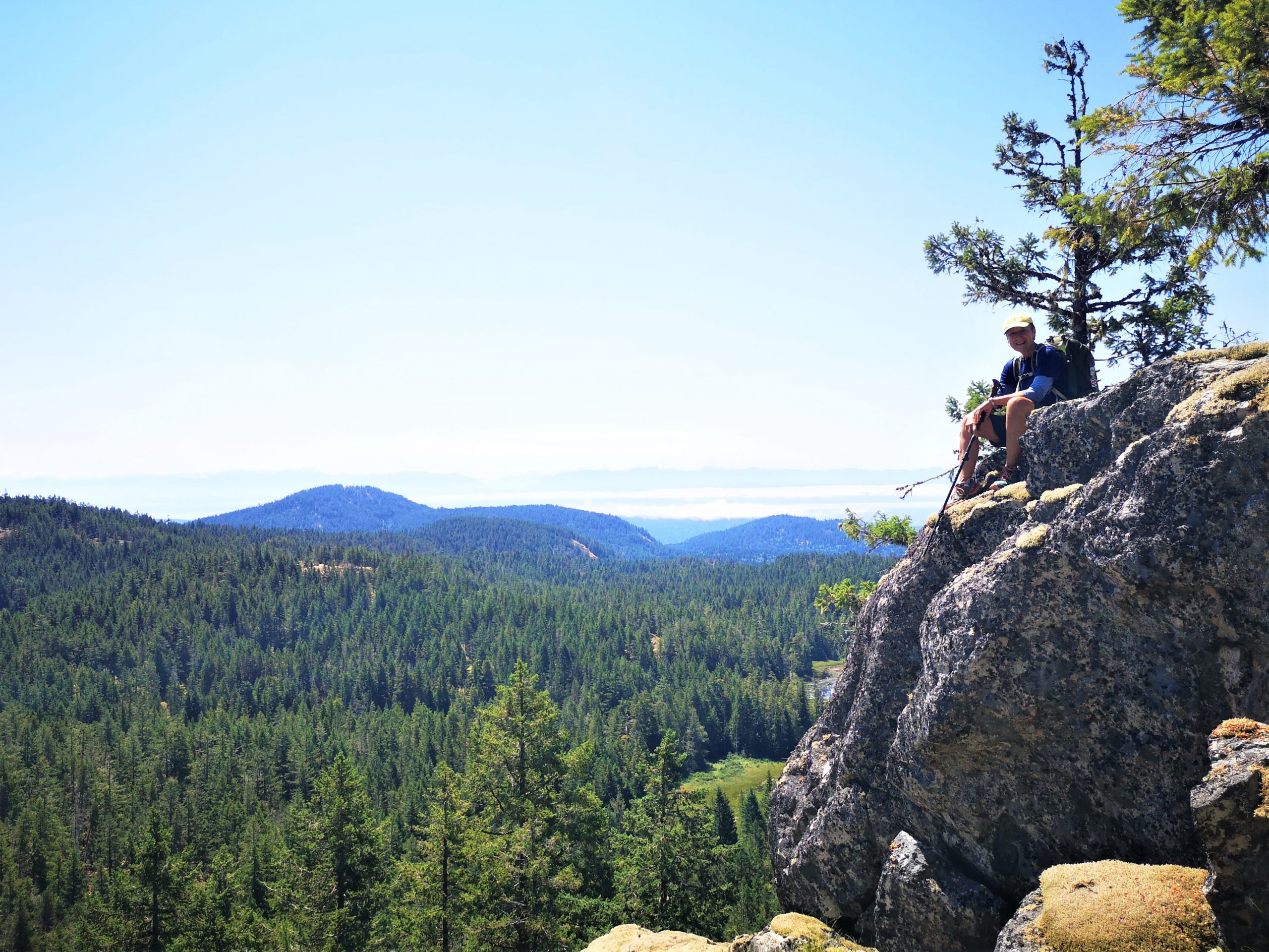
After some pictures, we hiked back to Grassy Lake and heading down the Grassy Lake Trail back to our vehicle. It took us 6 hours.
It was good to share the day with so many that have never hiked here before, some that came from quite the distance. I have been leading hikes for over 25 years and I am always thankful to show people the beauty in every hike I lead.
