Mt Tzouhalem

October 12, 2024

~ submitted by Mary Hof

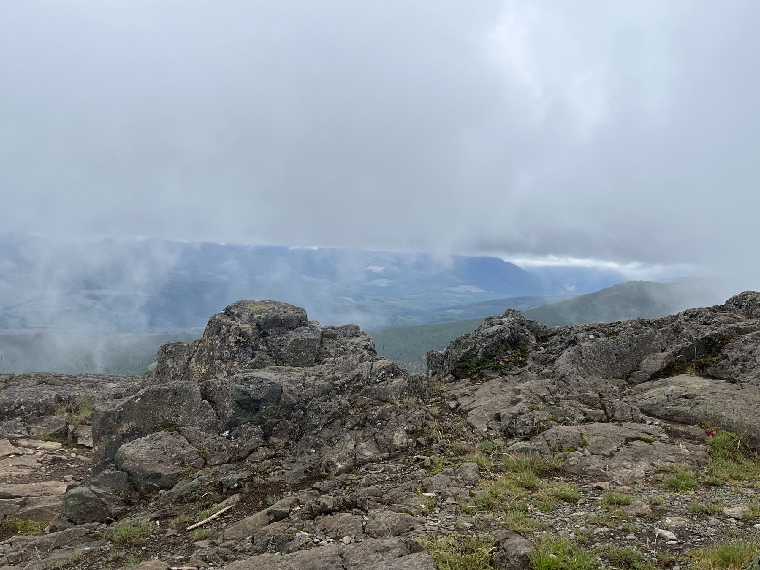
With a beautiful sunny 21 degree weather day we were all wondering why we didn’t wear shorts. We did a short car shuttle and started our hike at the cave trailhead.

We hiked Maret Way named after a good friend who loved bushwhacking so this trail probably would not be found without a track. We made our way to the ridge and down Mad Dog. We came out at Genoa Bay.

I loved our group and they were very appreciative of the hike. It was a beautiful day. 

Nahmint Mountain

Nahmint Mountain has been on my bucket list for a long time, but there always seem to be bigger and more important mountains to tackle than this peak. The main issue is that the trip reports I’ve read discuss how long the trip is, and it’s difficult to find people who are interested in doing exceptionally long days. I’m happy to report that we used a route that got us back to the vehicle within eight hours.

Continue reading “Nahmint Mountain”

Mount Klitsa via Brooke Geroge Trail — Lifetime Objective

–submitted by Matthew Lettington

What an amazing day on Mount Klitsa! Nine of us hiked the Brooke George trail and reached the summit on this beautiful day. We drove on the rough road to the trailhead, which made returning to the vehicles even more satisfying. Many thanks to the AVOC volunteers for creating the turnaround!

Continue reading “Mount Klitsa via Brooke Geroge Trail — Lifetime Objective”

A beaut of a Beachcomb on the Tatchu Peninsula

July 8-13, 2024
Untitled photo
 

On July 8th, the six of us in our group drove in two vehicles to Fair Harbour, the last two hours on logging roads, going through Zeballos before driving to Fair Harbour. The resort there provides safe parking, for a fee, of course. From there, it was a 25-minute boat ride with Voyageur Water Taxis to Rugged Point. From Rugged Point, we hiked as far as the bay just before Yellow Bluff, and back. Leo Jack, our captain, picked us up on schedule on the 12th. Yes, we had farther to drive than going from Tahsis (another option), but our boat ride was much shorter and more sheltered. Some people opt to take a float plane in, hike one way, and be picked up at the other end. I’d much rather avoid taking a float plane, and the trail is short (about 20 k , so you might as well do an out-and-back. And the direction we went is preferable, too, because the last section south of Tatchu Creek is rugged; best done without overnight packs. 


A smooth ride to Rugged Point on July 8th

Untitled photo
 
Untitled photo

Continue reading “A beaut of a Beachcomb on the Tatchu Peninsula”

Sadie Peak

July 20, 2024

~ submitted by Matthew Lettington

Why not many things change in the Alpine over the years, the same cannot be said for cut blocks. When I did Sadie Peak the first time, I do remember the block being a little bit of a challenge, but this time it was  very bushy. 

We stuck to the route I used on my first trip to this mountain 10 years earlier. The first half mostly went as expected. We followed the original route pretty closely. The navigation and bush on the first quarter of the route was made even more challenging by the very warm weather. By the time we made it halfway along the route, we discovered a well booted in game trail. It was a welcome sight because it greatly sped up those portions of the trip. 

Continue reading “Sadie Peak”

Mackenzie Peak

July 27, 2024

~ submitted by Matthew Lettington

McKenzie peak is the High Point to the McKenzie range. On my first attempt, I reached the summit block via the climbers trail built in the 70s by Island Mountain ramblers members. For this trip we went up by the Canoe Creek micro dam. The trails been flagged and blazed quite heavily. There’s lots of evidence of the dozens of climbers that have been visiting the range over the past few years. It made for a quick travel with little need for complex navigation.

Continue reading “Mackenzie Peak”

Peak 5040

August 3, 2024

~ submitted by Evan Martin

I met Christine, Dean, and Sarah at the start of Marion Creek FSR at 10:00. After quick introductions we proceeded to drive to the trail head. We took two vehicles – a small truck and an SUV – neither of which had any trouble on the FSR. It was in very good condition. We parked at the large pullout on the right hand side at the top of the hill near the 10km mark. After gathering our gear we proceed to walk another 400m up the road to the trail head. It was 10:30 by the time we left the trail head. Not quite the alpine start Dean was hoping for, but coming from Victoria I was happy to have a good night sleep.

Continue reading “Peak 5040”

Mount Benson from the Southeast Approach

June 27, 2024

~ submitted by Ken Warren

Well the weather was better than forecast for our mountain adventure. Five of us headed up Benson from Morrell at a respectable speed.

By the time we got to the viewpoints the fog obscured our views. We ground on with only a few wrong turns and made the summit by noon. We sat around as the fog got thicker and the temperature dropped. Our wildlife sightings were limited to frogs  and grey jays.

We made good time on the descent and arrived at the parking lot tired, stiff, and quite happy.

 Thanks all for your company.